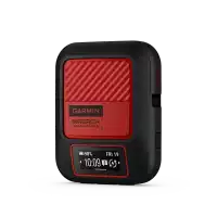
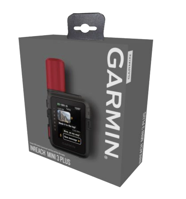
Overview
Short summary
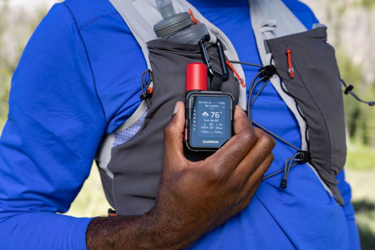
Ideal for hikers, climbers and explorers who need safety, tracking and messaging in remote areas where mobile coverage is unreliable or completely unavailable.
TECHNICAL DETAILS
Registration required (cloud based)
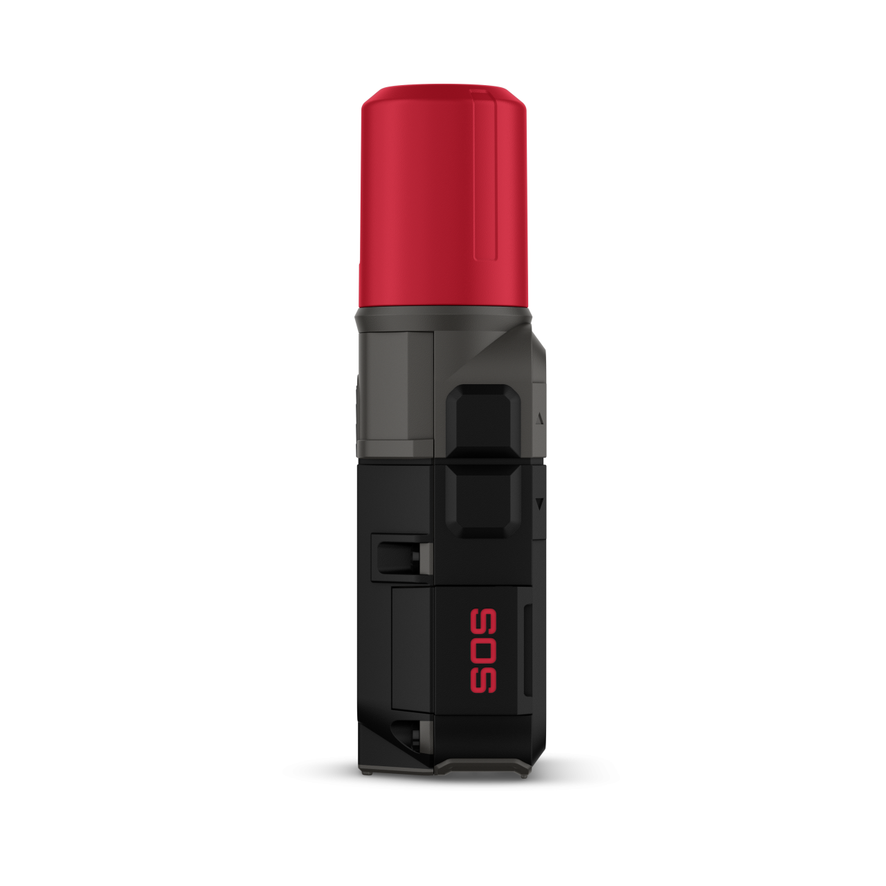
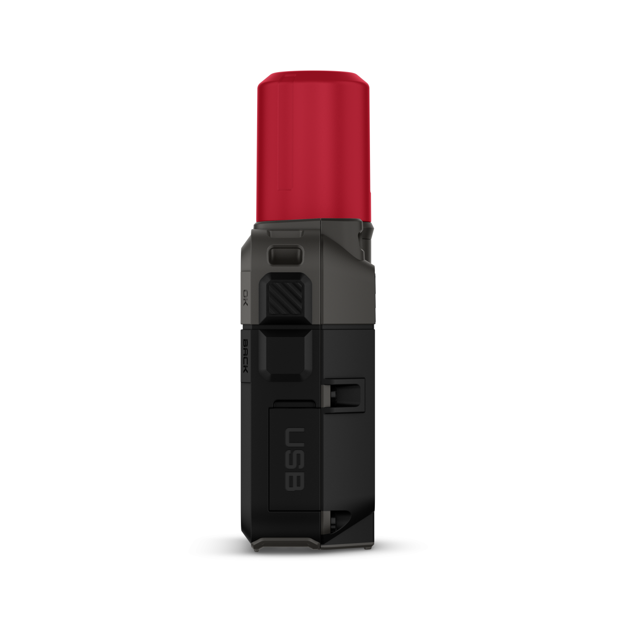
Unit dimensions, WxHxD:
55 x 98 x 27 mm
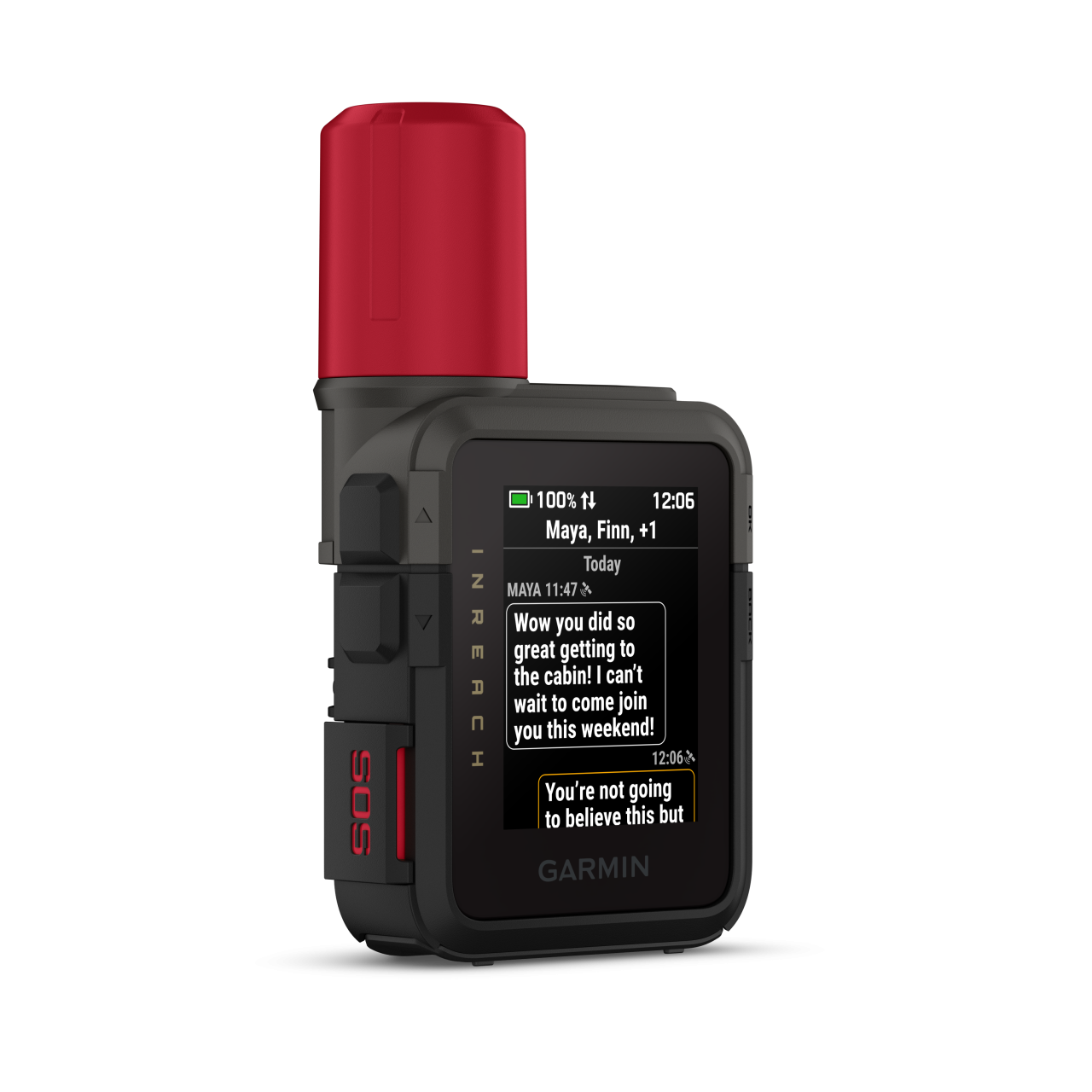
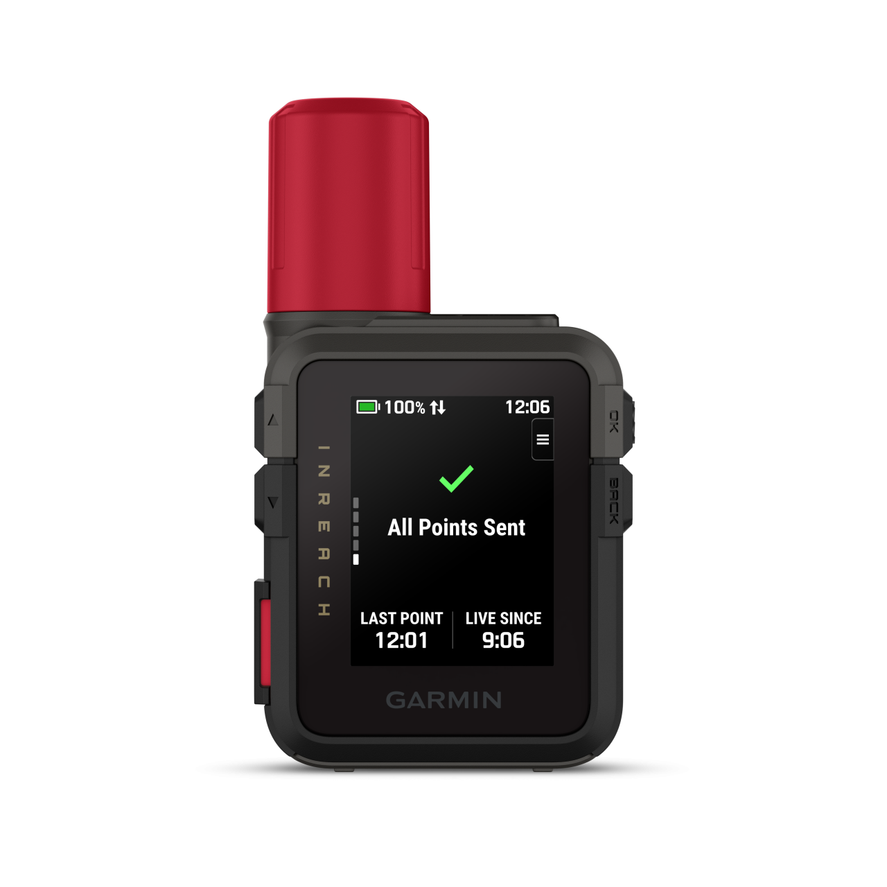
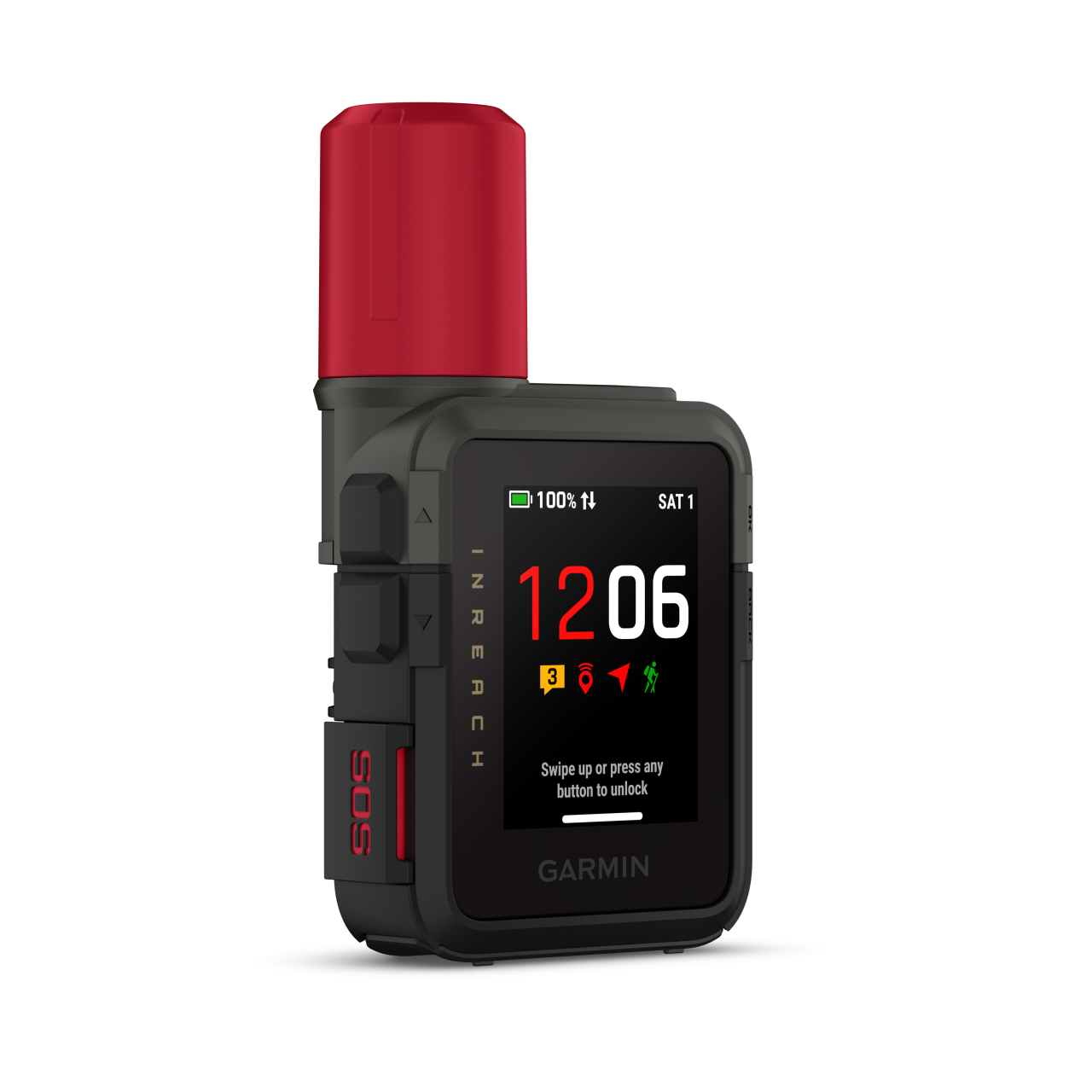
Display resolution
306 x 230 px pixels
Display Type
Sunlight-readable, monochrome, transflective memory-in-pixel (MIP)
Lens material
chemically strengthened glass
Battery
Rechargeable internal lithium ion 1250mAh
Operating temperature range
-20° - + 60° C
Guarantee or warranty ( for person )
2 years
Guarantee or Warranty (for company)
2 years
Training goal/ exercise motivation (Best = XXXXX)
Performance-enhancing training
●●●●●
Good feeling exercise
●●●●●
Battery Life (Accu)
Battery Saver Watch Mode (no smartwatch)
1 years
Expedition GPS activity
10-30 days
Other mode
2-5 nap (10 perces küldési intervallum + nagy részletességű tevékenységrögzítés)
Technical specifications
Average service time (my own experience)
1-5 nap
Sound pulses leaving the zone (on / off)
Backlight: Adjustable timeout during activity & not d.a.
Button lock or Locking the Touchscreen
During use, the battery can be charged
Software Upgrade
Garmin Express
Factory reset
Settings > System > Reset Device
CLOCK MODE
PRE-TRAINING FUNCTIONS
Automatic start, stop, pause recording
Adjustable recording rate
Adjustable tracking send interval, activity recording detail
SETTINGS DURING TRAINING
Ability to charge while using
SMARTPHONE FUNCTION
Shows shows current weather widget
inReach Weather forecasts (subscription required)
APP name
Garmin Messenger; Garmin Explore
Android phones
Android 9.0 or newer (BLE 4.0 or newer)
iOS system (iPhone)
iOS 16 or higher (BLE 4.0 or higher)
BluetoothTM phone calling and voice assistant (Siri, Google Assistant és Bixby) support
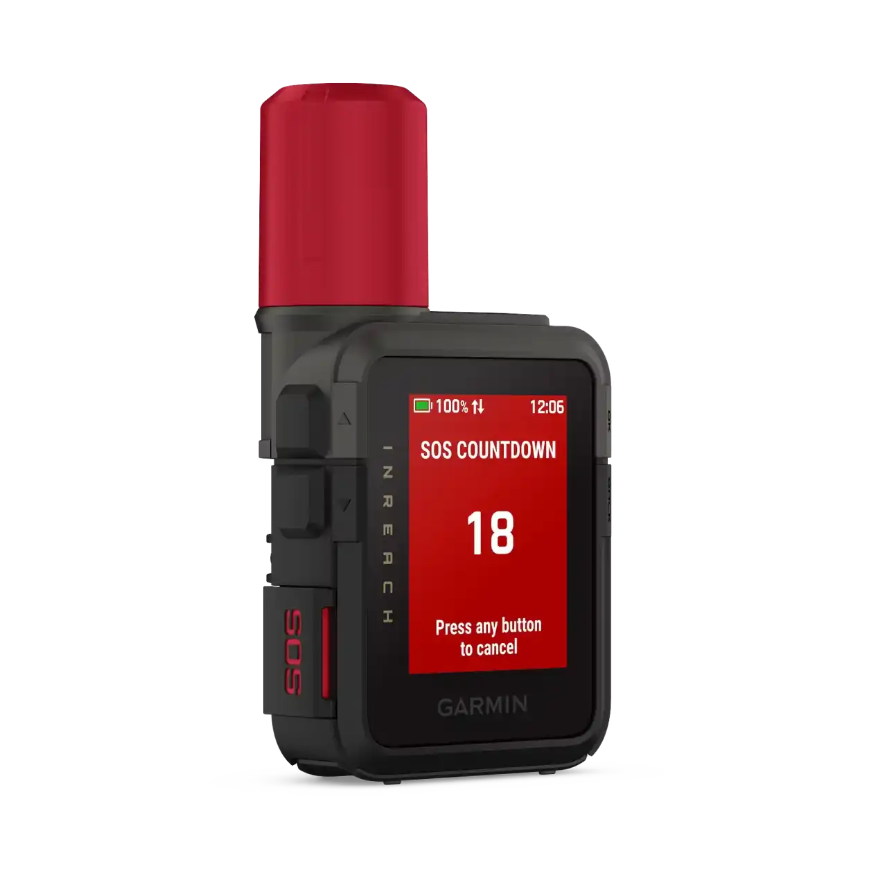
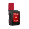
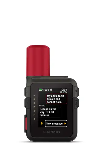
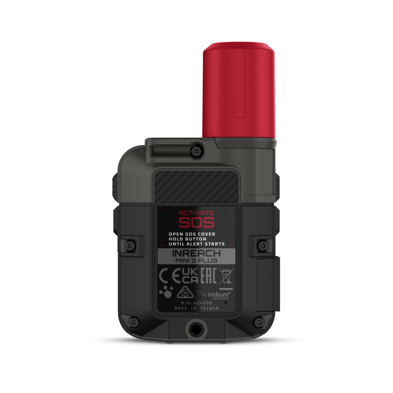
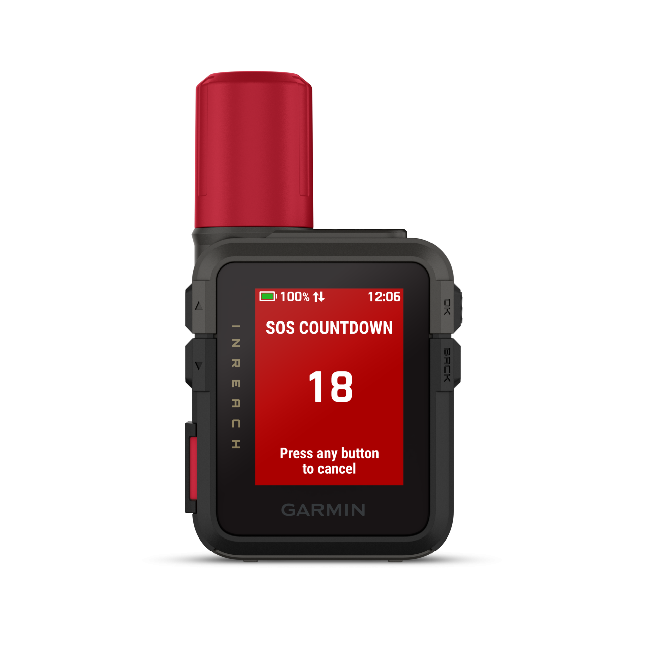
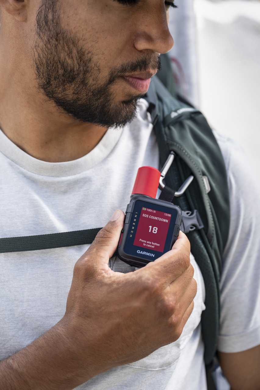
SAFETY FEATURES (Smartphone required)
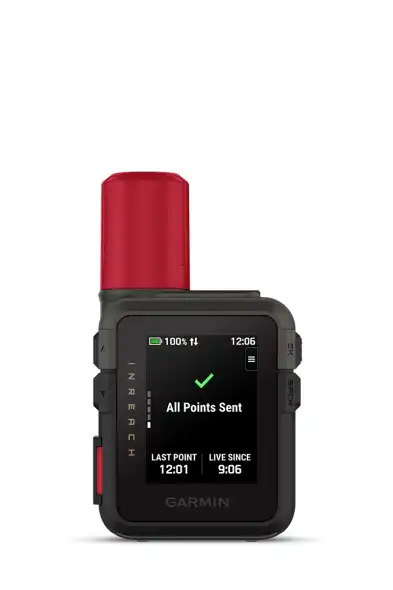
Send route selection to MapShare during trip
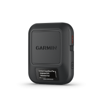
COMPUTER CONNECTIVITY
Data transmission device in the package?
Data transfer device name
USB-A – USB-C
Driver Name
Garmin Express
Program name
Garmin Explore
Hungarian-language software
3rd PARTY APP
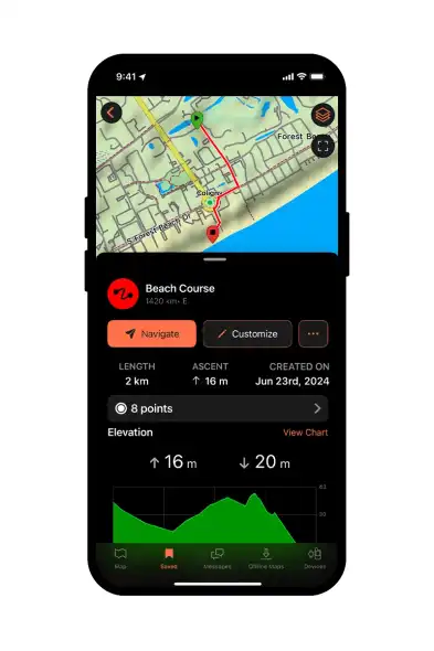
Data export (.gpx, .tcx, .csv)
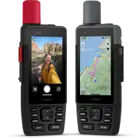
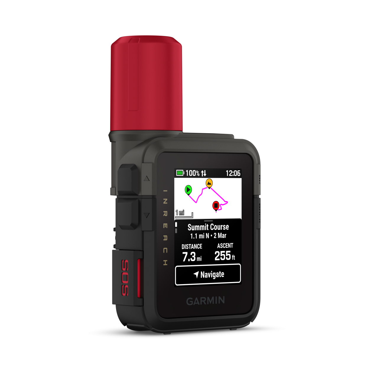
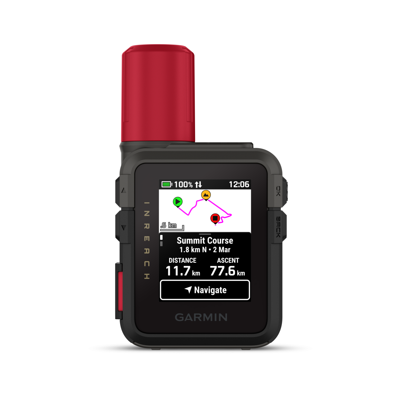
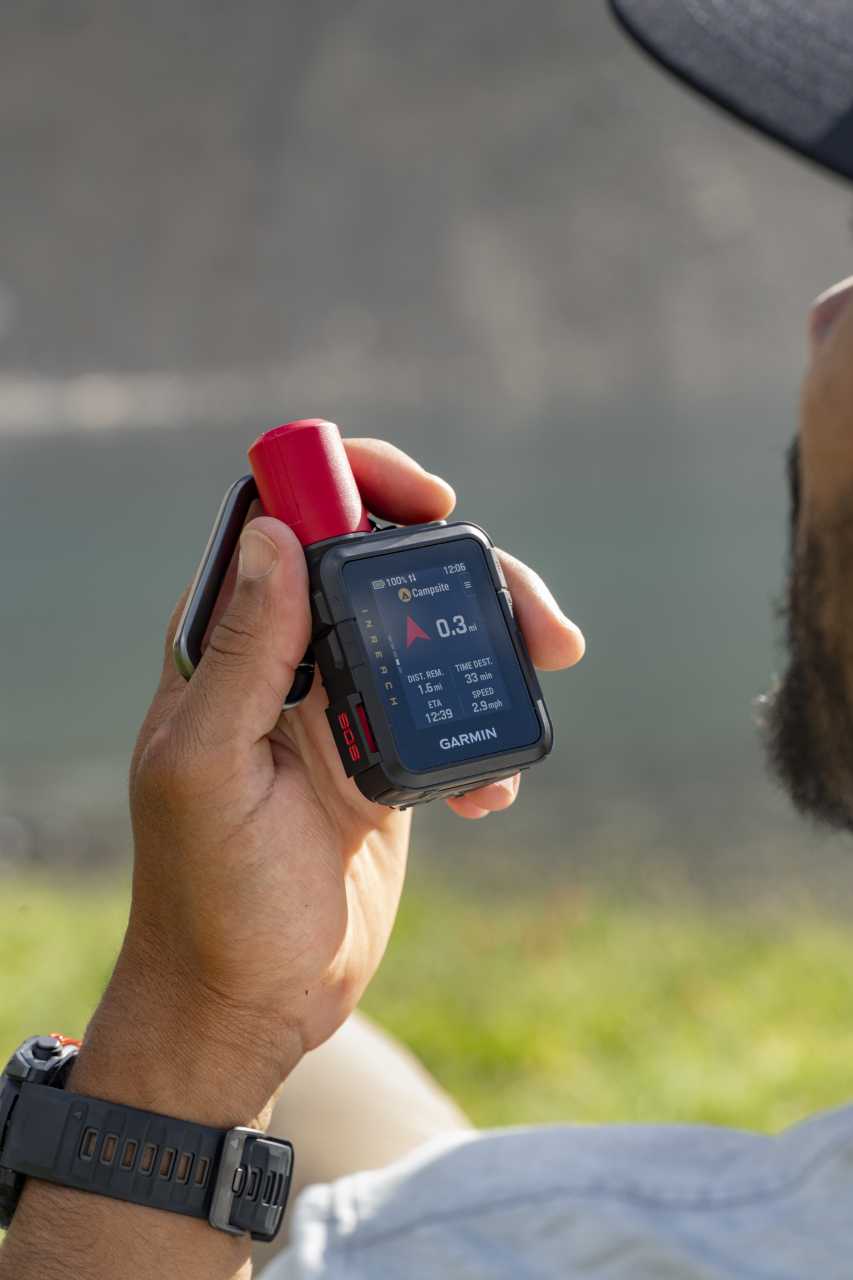
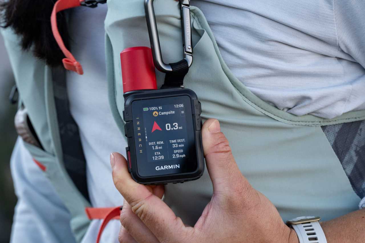
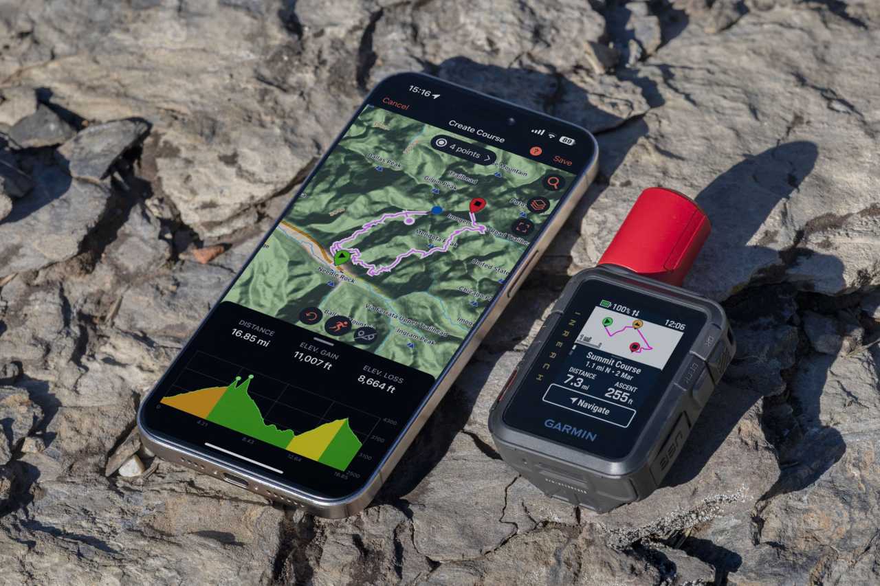
NAVIGATION FEATURES
Preloaded maps
Garmin Base Map
Can be loaded with Openmaps and / or turistautak
Map orientation
Heading Up or North Up option
Waypoints/favorites/locations
1000
Can be filled from the GPS Trace
GPS FUNCTIONS
GPS (USA) satellite system compatible
GLONASS satellite system compatible (30cm Accuracy!)
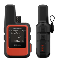
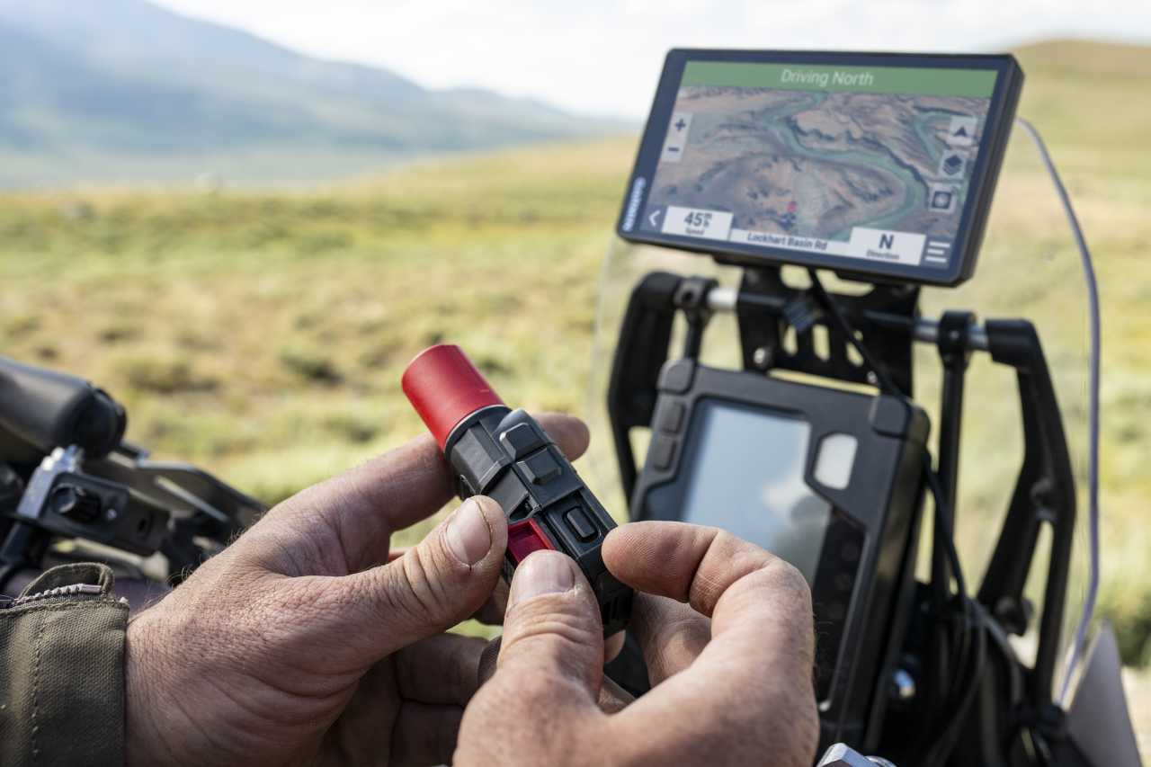
Training computer displays the Route
inReach® features (requires subscription)
Built-in inReach® satellite communication
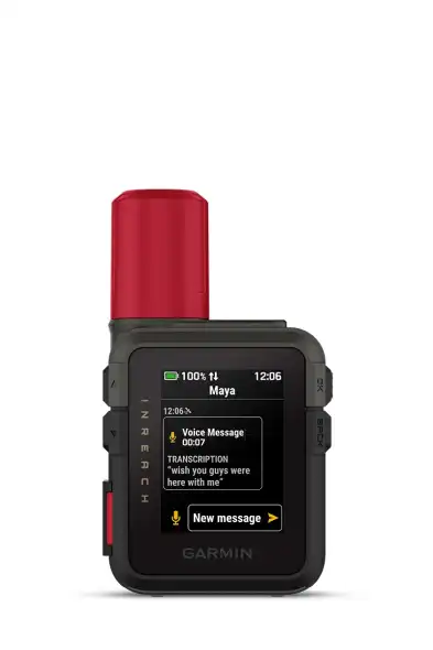
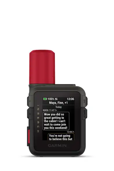
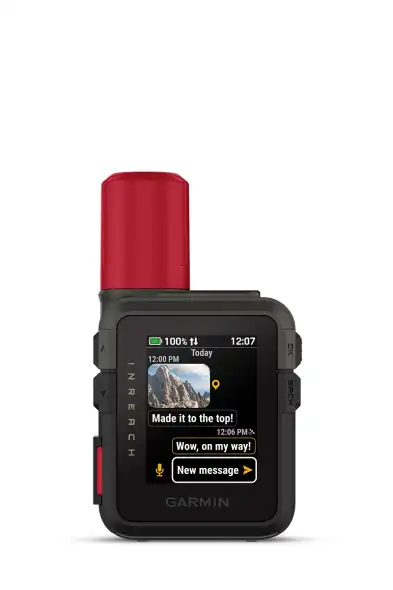
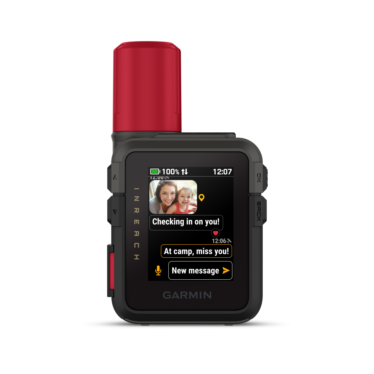
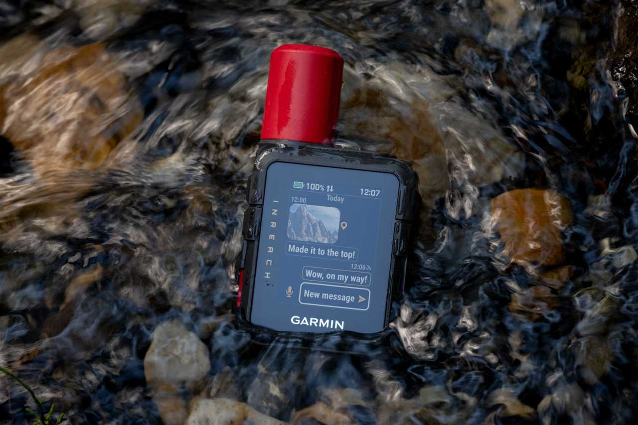
Send and receive text messages to SMS and email
Send and receive text messages to other inReach device
Send and receive group messages
Garmin Messenger app
Exchange locations with other inReach device
Virtual keyboard for custom messaging
Send route selection to MapShare during trip
inReach remote compatible
inReach Remote via ANT+ device (e.g., fēnix): view messages, check-in, start/stop tracking, initiate/cancel SOS
ALTIMETER FEATURES
Altitude & Ascent (GPS based)
Safety siren (Loud alert tone)
PACKAGE CONTENTS
Charging/data cable
USB-A – USB-C