PRODUCT STRUCTURE
Product Variants (if any)
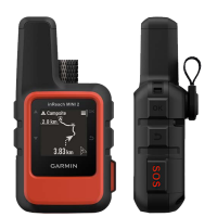
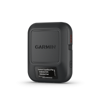
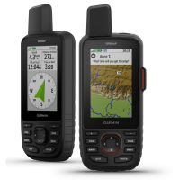
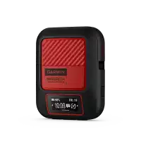
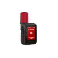
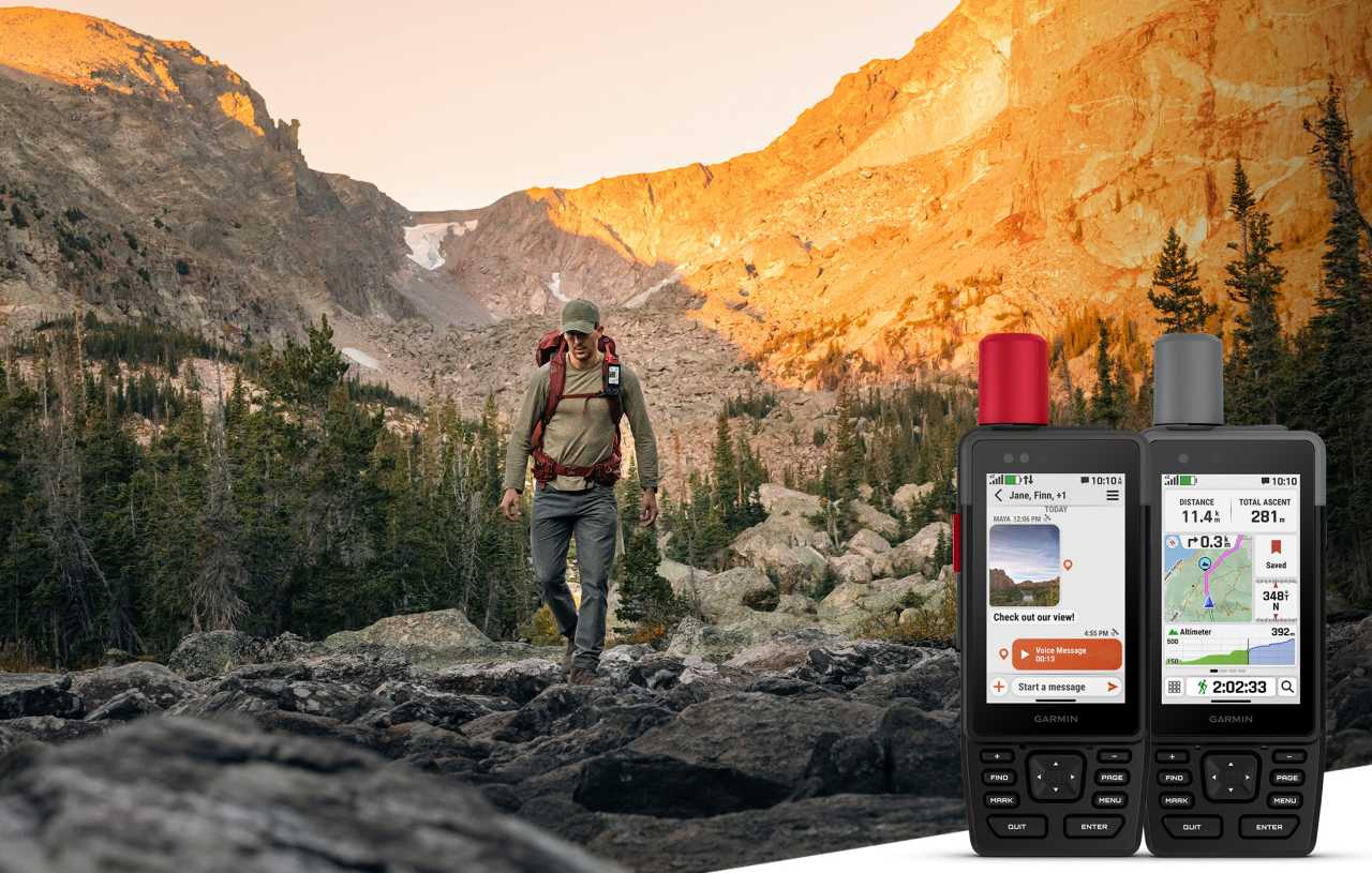
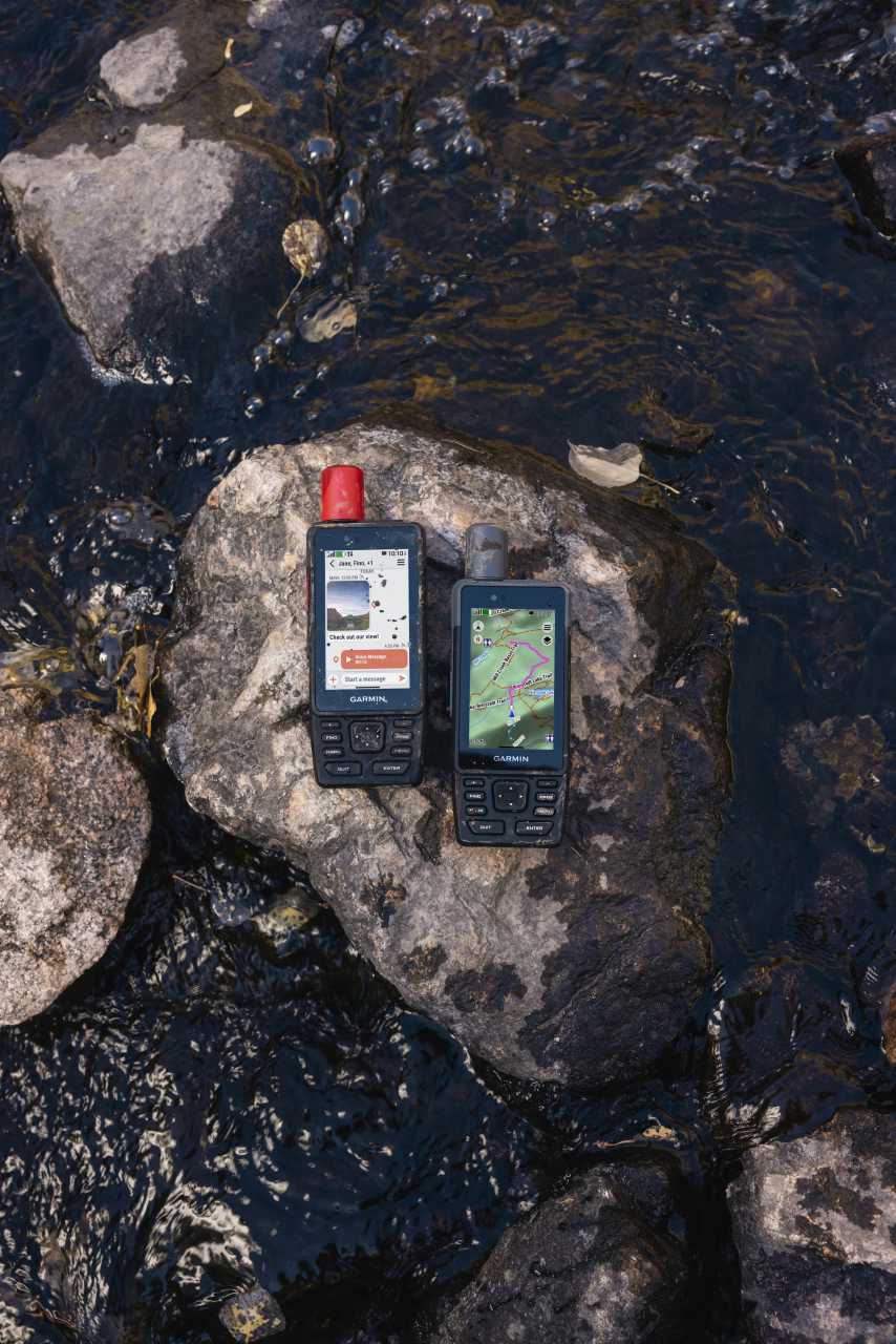
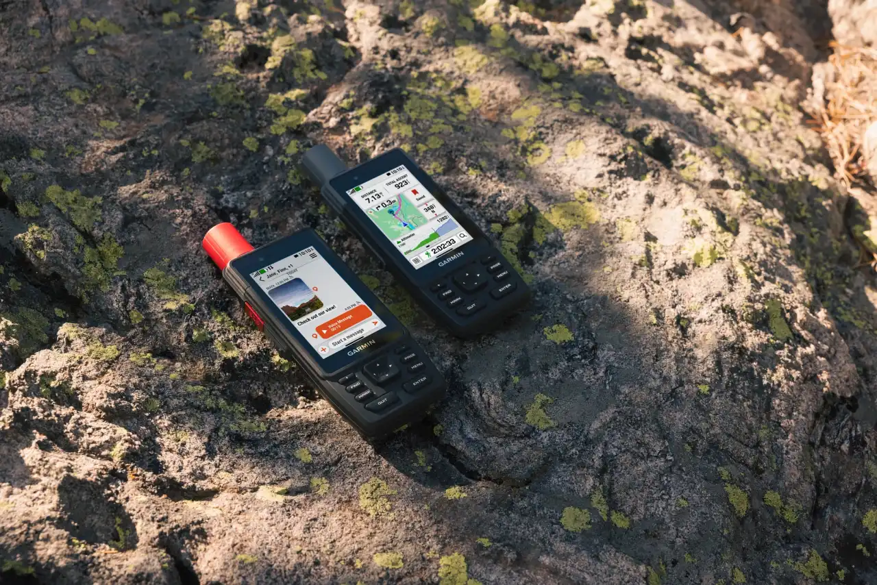
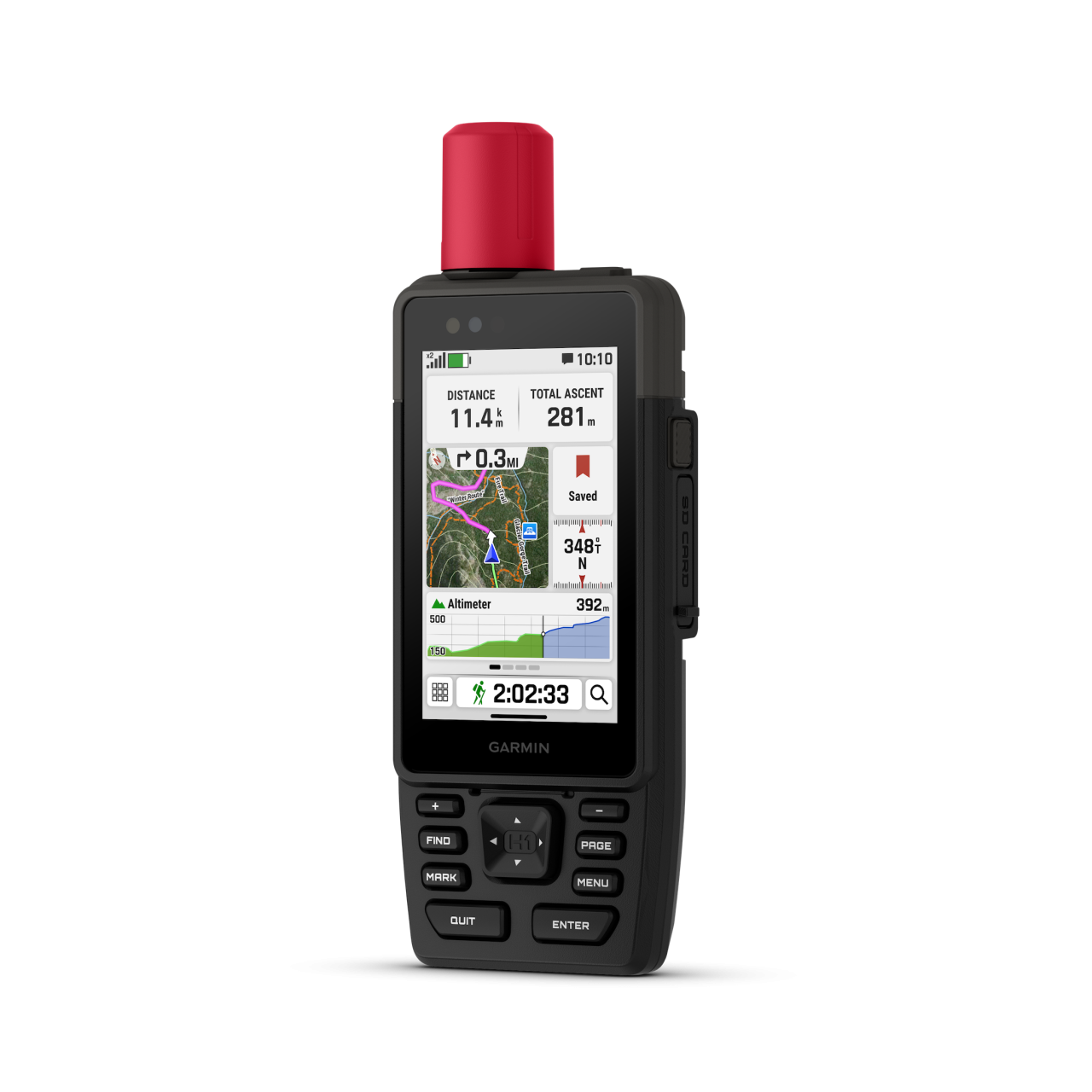
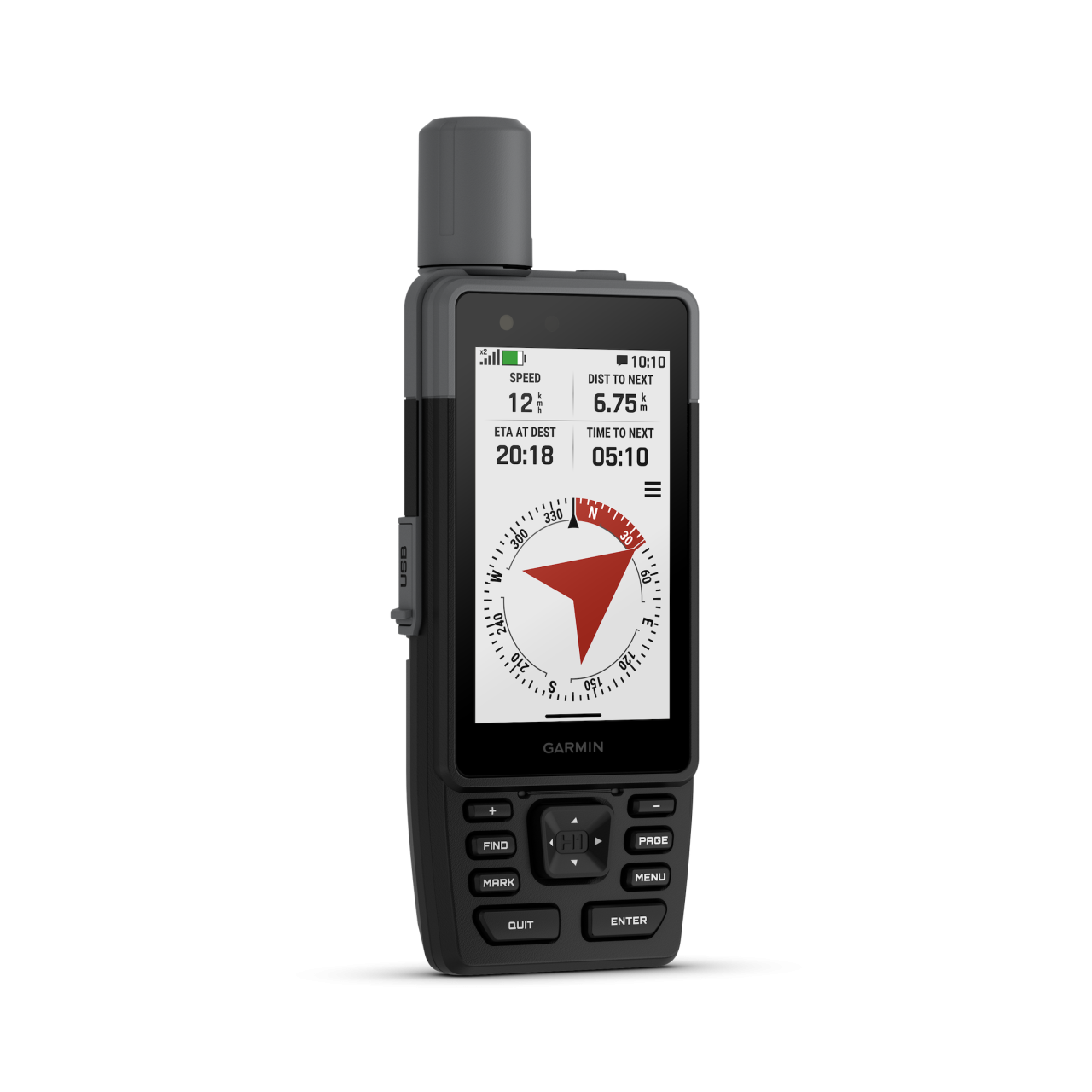
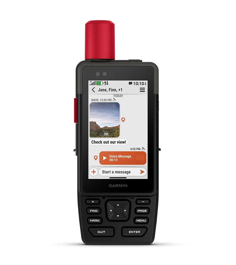
H1 / H1i Plus
Overview
Short summary
Rugged handheld with new display and precise navigation. The base model suits explorers, the advanced version offers satellite communication anywhere.
TECHNICAL DETAILS
Registration required (cloud based)
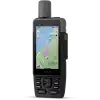
Weight
276 gramm / 290 gramm (H1 / H1i plus)
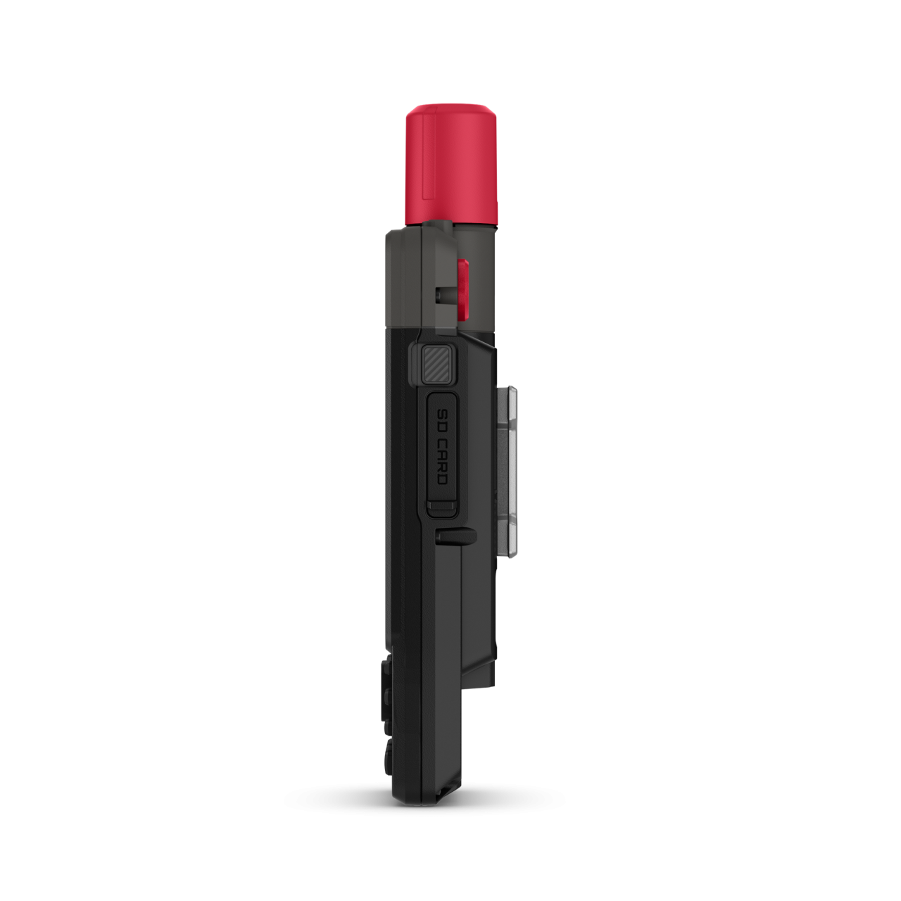
Unit dimensions, WxHxD:
6,7 cm x 17,9 cm x 3,3 cm
Display resolution
282 x 470 pixels
Display Type
Transflective colour TFT
Lens material
Chemically strengthened glass
Battery
Rechargeable, internal lithium-ion
Operating temperature range
-20° to 60°C
Guarantee or warranty ( for person )
2 years
Guarantee or Warranty (for company)
2 years
Training goal/ exercise motivation (Best = XXXXX)
Performance-enhancing training
●●●●○
Good feeling exercise
●●●●●
Battery Life (Accu)
GPS mode
180hours (67i version with inReach 165 hours)
Extra accurate GPS signal (All Satellite Systems and Multi-band)
145 óra
Expedition GPS activity
Up to 840 hr (H1i version with inReach 425 hours)
Other mode
Up to 48 hours with inReach enabled, 10 minute tracking, Performance messaging mode
Technical specifications
Average service time (my own experience)
1-5 nap
Sound pulses leaving the zone (on / off)
Backlight brightness adjustable
Button lock or Locking the Touchscreen
During use, the battery can be charged
Memory Capacity
64 GB (user space varies based on included mapping)
Factory reset
menu -> menu -> setup -> reset
CLOCK MODE
multiple time nones with ZULU/UTC
Customizing the Controls Menu
HEART RATE MEASUREMENT
Current heart rate
with heart rate sensor
Average and max. heart during exercise
with heart rate sensor
Pulse zone settings
with heart rate sensor
Calories
with heart rate sensor
HEART RATE SENSOR (external)
Package is the heart rate strap?
-
Bluetooth Smart compatible
Memory function
internal memory HRM straps supported
PRE-TRAINING FUNCTIONS
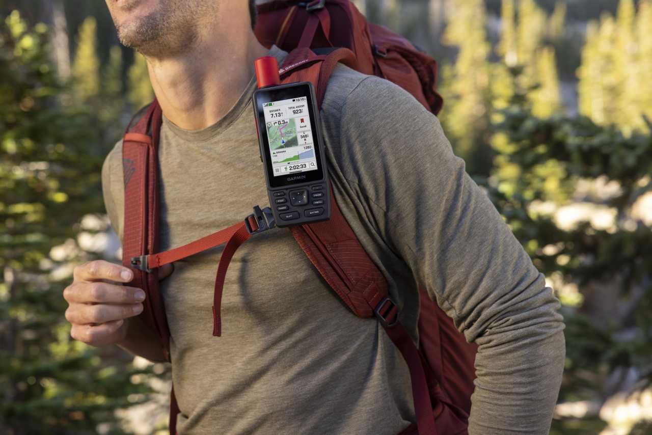
Customizable screen(s)
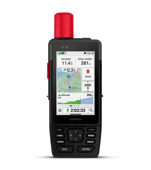
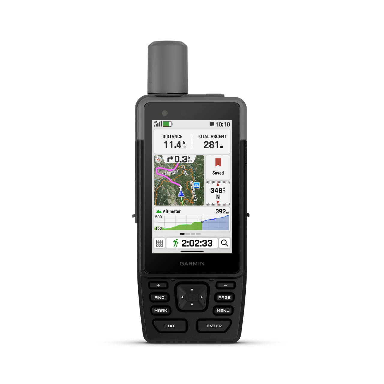
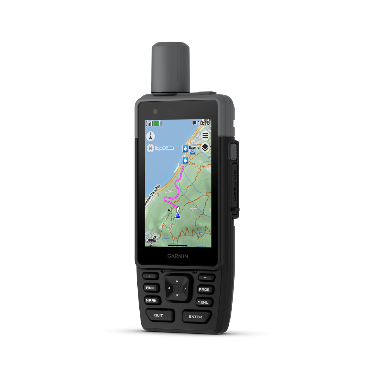
15 pages, up to 4 data fields per screen + map, compass, altimeter, barometer, satellites
Garmin Share (sharing routes and workouts between devices)
SETTINGS DURING TRAINING
Pause training session (for red light)
Ability to charge while using
SETTINGS AFTER TRAINING
Ride summaries (speed, acceleration, decelerations, elevation, ...)
SMARTPHONE FUNCTION
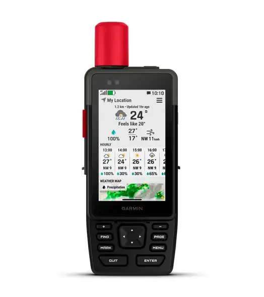
Shows shows current weather widget
APP name
H1 series: Garmin Connect IQ, Garmin Explore; H1i Plus: Garmin Messenger App
Android phones
Android 9.0 or newer (BLE 4.0 or newer)
iOS system (iPhone)
iOS 16 or higher (BLE 4.0 or higher)
Notifications on the watch
Notification functions Pause
Training / tour online can be tracked from home (LiveTrack)
LiveTrack shows the planned route
GroupTrack: online location sharing with your team (internet required).
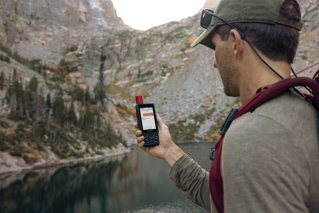
SAFETY FEATURES (Smartphone required)
Send route selection to MapShare during trip
only GPSMAP H1i Plus
Road hazards alerts (potholes, dangerous dogs/animals, fallen trees, etc.)
COMPUTER CONNECTIVITY
Data transmission device in the package?
Data transfer device name
USB-C kábel
RINEX Logging (Receiver Independent Exchange Format)
Driver Name
Garmin Express
Program name
Garmin Explore, Garmin Messenger, Garmin Connect IQ
Graphical visualization exercise
Hungarian-language software
3rd PARTY APP
Strava was automatically added
Data export (.gpx, .tcx, .csv)
NAVIGATION FEATURES
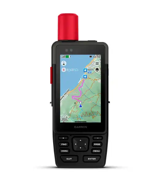
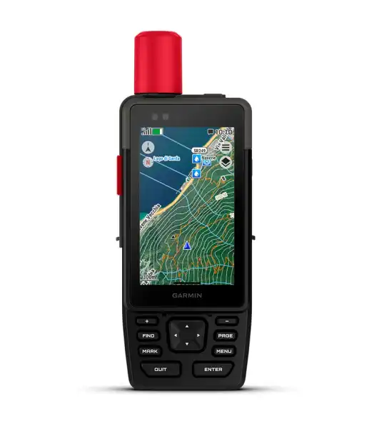
Preloaded maps
Topo Active Europe
BirdsEye Direct Satellite Imagery
Map orientation
Heading Up or North Up option
Waypoints/favorites/locations
10000
Track and POIs on display at the same time
Off-course re-route selection options
Can be filled from the GPS Trace
250
Route and elevation profiles
GPS FUNCTIONS
GPS (USA) satellite system compatible
GLONASS satellite system compatible (30cm Accuracy!)
Intelligent GPS signal optimiser (SATIQ™)
Training computer displays the Route
Expandable data card
Yes (1 TB max microSD card)
Unit-to-unit transfer (shares data wirelessly with similar units)
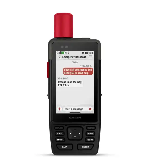
inReach® features (requires subscription)
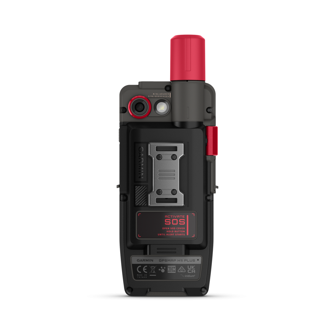
Built-in inReach® satellite communication
only in GPSMAP H1i model
External inReach® device compatible
GPSMAP H1 ✓ / H1i – external
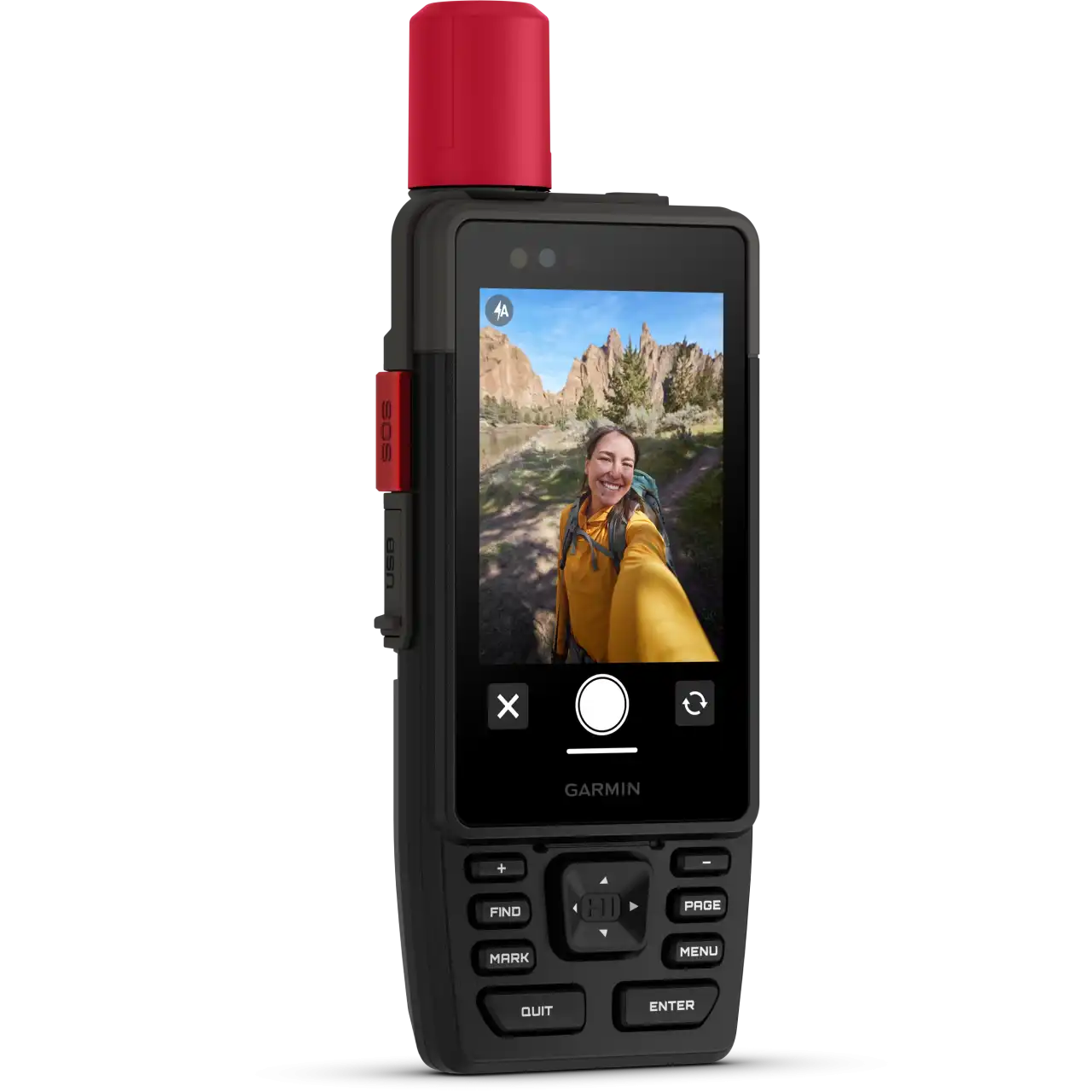
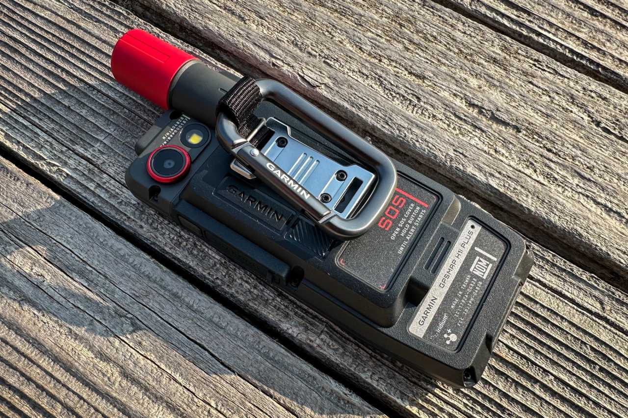
Interactive SOS
only GPSMAP H1i Plus
inReach időjárás
only GPSMAP H1i Plus
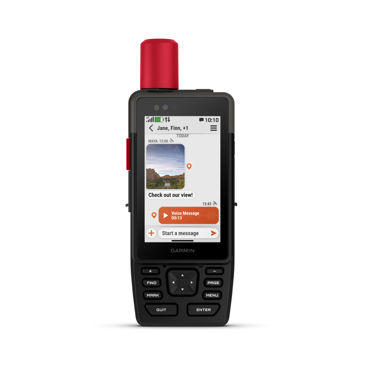
Send and receive text messages to SMS and email
only GPSMAP H1i Plus
Send and receive text messages to other inReach device
only GPSMAP H1i Plus
Send and receive group messages
only GPSMAP H1i Plus
Exchange locations with other inReach device
only GPSMAP H1i Plus
MapShare compatible with tracking
only GPSMAP H1i Plus
Virtual keyboard for custom messaging
only GPSMAP H1i Plus
Photo and Voice masseges
only GPSMAP H1i Plus
Send waypoints to MapShare during trip
only GPSMAP H1i Plus
Send route selection to MapShare during trip
only GPSMAP H1i Plus
inReach remote compatible
only GPSMAP H1 (not H1i Plus)
Other interesting
Device Passcode Protection
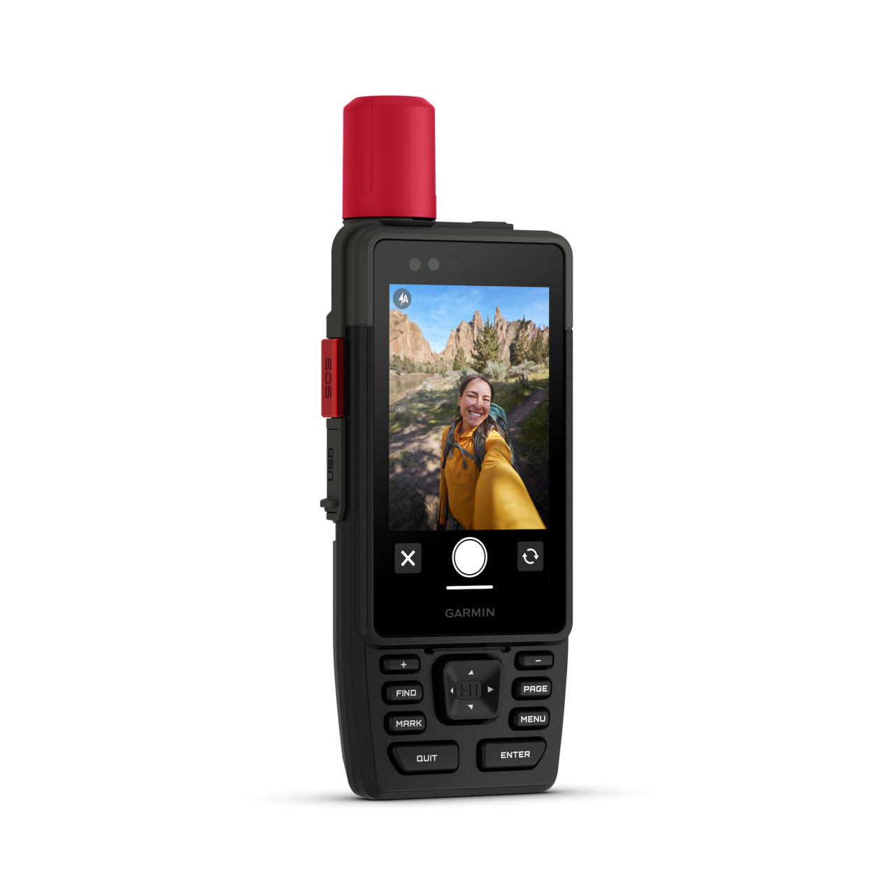
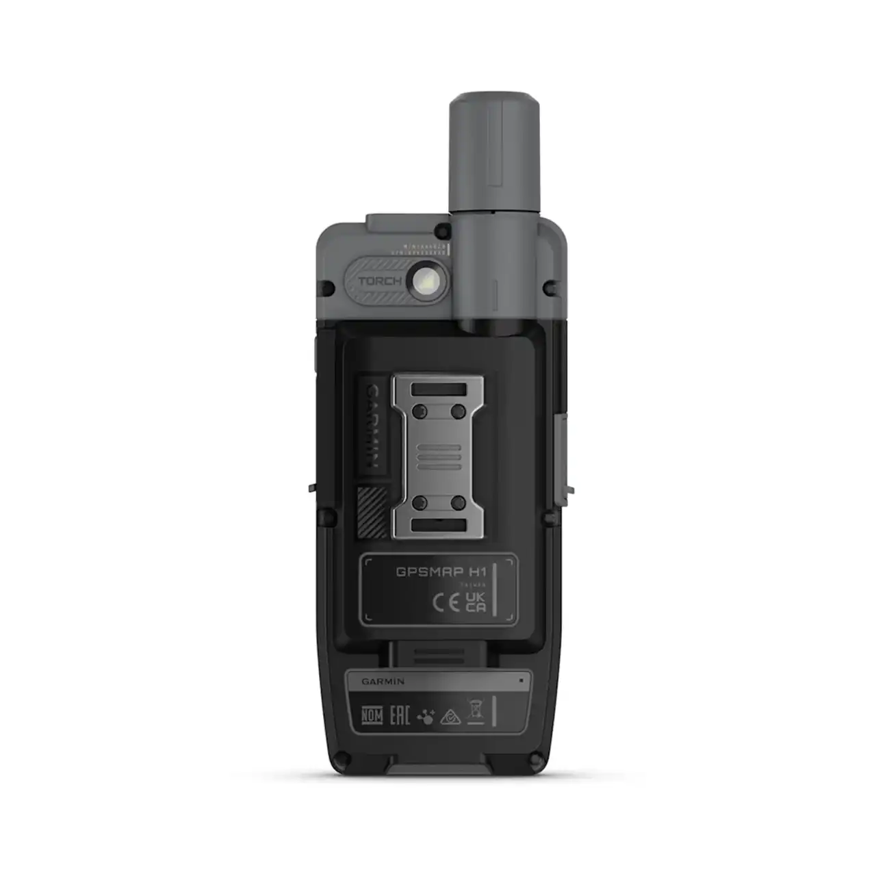
Image and Photo
built-in camera
Only GPSMAP H1i
Dimensions of quality
Froont: 5 MP, Rear: 8 MP
Photo Review
Only GPSMAP H1i
Video
CYCLING speed sensor
Package is the speed sensor?
-
Bluetooth Smart compatible
Number of cycling sensors can be taught
1
CYCLING cadence sensor
Package is the cadence?
-
Bluetooth Smart compatible
Number of hours taught-cadence
1
Boating Features
ALTIMETER FEATURES
bulit in temperature sensor
external wireless temperature sensor (garmin tempe)
Vertical ascent in meters per hour
Safety siren (Loud alert tone)
Altitude, ascent and descent – meters, degrees, percentage
HUNTING & FISHING
Moonrise / moonset alert (times for selected date)
AUTOMOTIVE GPS
Multi-mode (car, motorcycle, bike)
Ball adapter with AMPS plate
Auto sort multiple destinations
Qwerty or ABC keyboard (choose keyboard layout)
Route shaping through preferred cities/streets
Real-time services: weather and fuel prices
only weather H1i
Tactical features
Kestrel wind meter compatible
Ballistics
Applied Ballistics® (long-range shooting calculator)
PACKAGE CONTENTS
Charging/data cable
USB-C – USB-C
Other accessory
Carabiner clip
.png)
 ZERGE’S OPINION IN BLACK AND WHITE ABOUT THE GARMIN GPSMAP H1.


