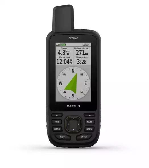
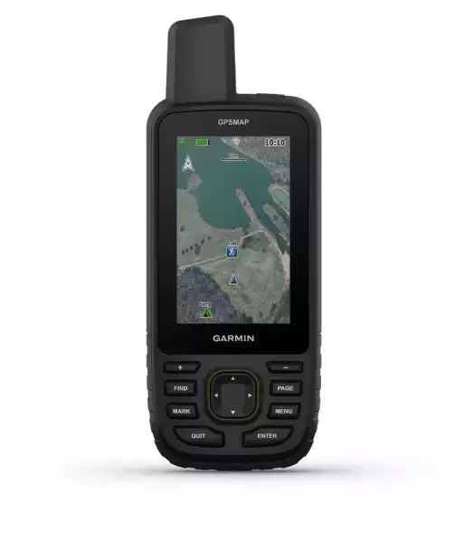
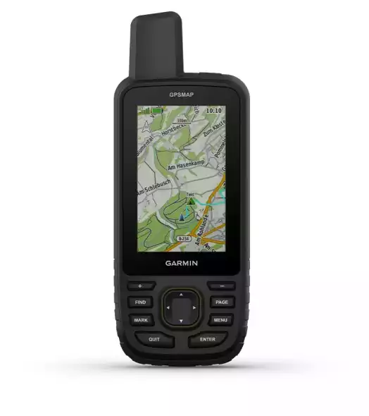
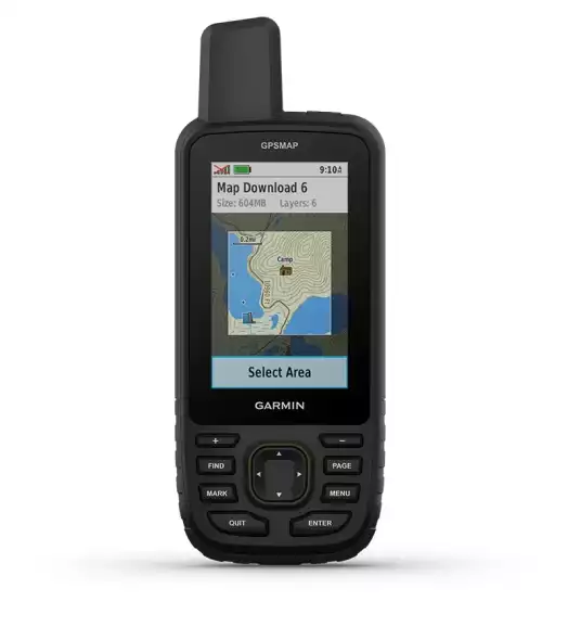
PRODUCT STRUCTURE
Product Variants (if any)
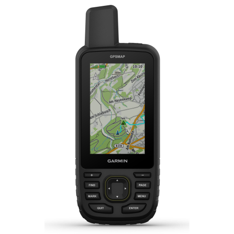
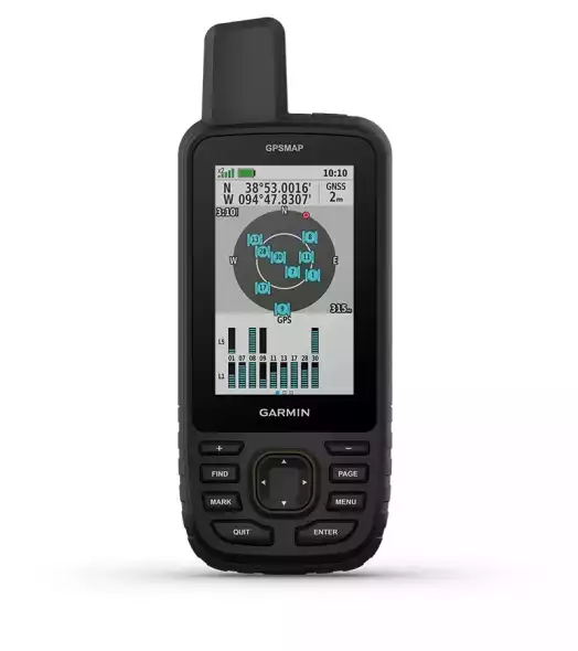
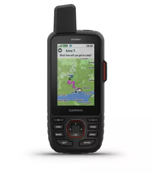
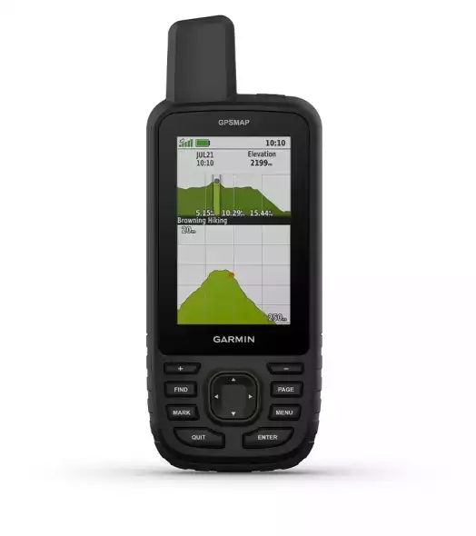
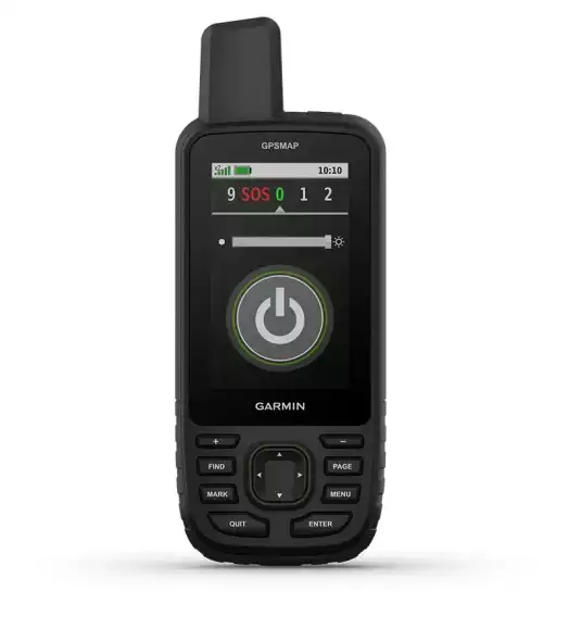
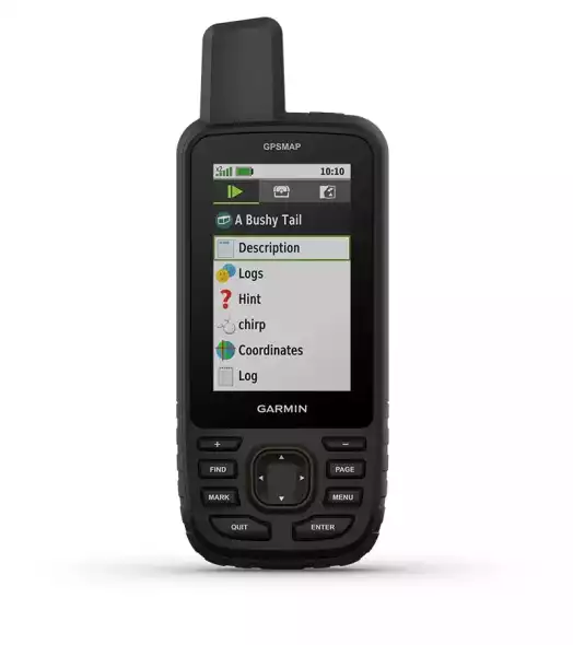
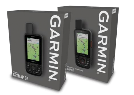
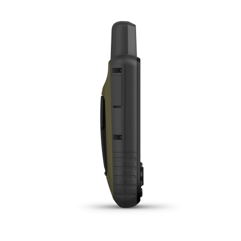
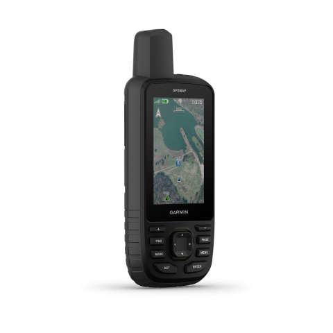
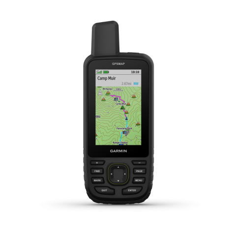
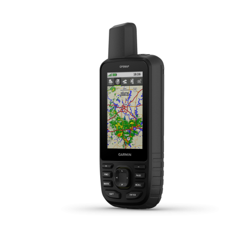
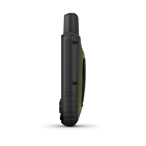
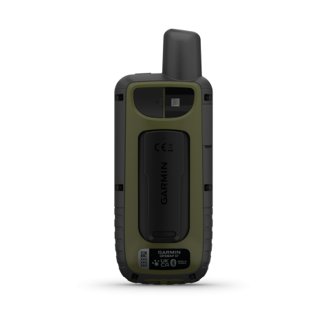
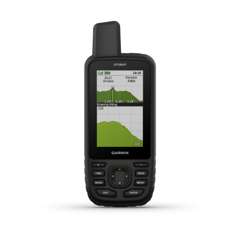
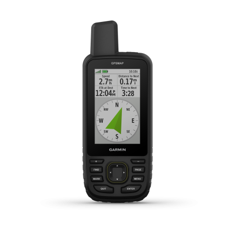
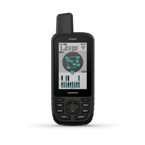
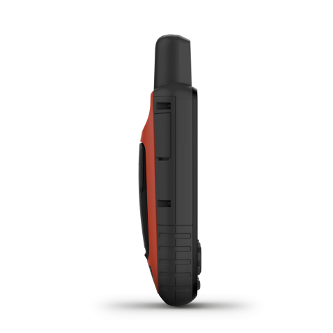
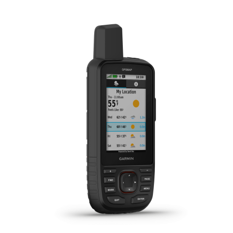
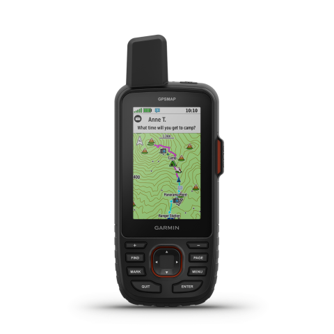
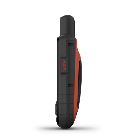
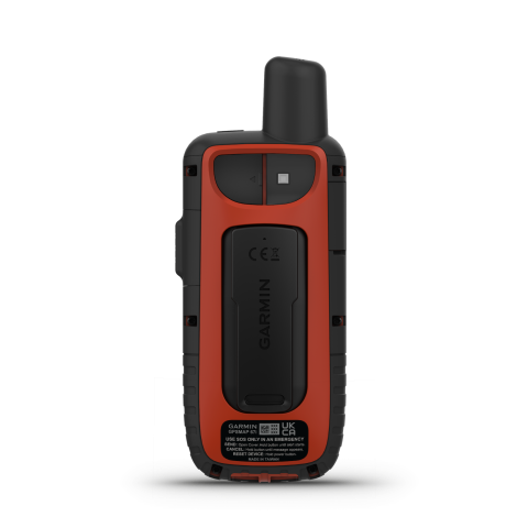
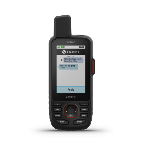
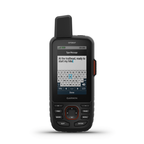
Garmin GPSMAP® 67 / Garmin GPSMAP® 67i
Overview
Short summary
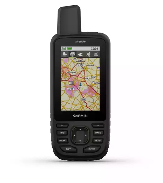
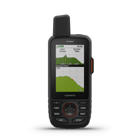
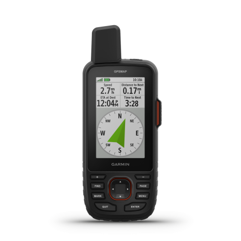
Multi-band GNSS handheld with a 3″ colour display, built for premium outdoor/adventure use: up to 180 hours battery life, topo maps included.”
TECHNICAL DETAILS
Unit dimensions, WxHxD:
6,2 x 16,3 x 3,5 cm
Display resolution
240 x 400 pixels
Display Type
transflective color TFT
Lens material
chemically strengthened glass
Battery
Rechargeable, internal lithium-ion
Operating temperature range
-20° to 60°C
Guarantee or warranty ( for person )
2 years
Guarantee or Warranty (for company)
2 years
Training goal/ exercise motivation (Best = XXXXX)
Performance-enhancing training
XXXX
Good feeling exercise
XXXXX
Battery Life (Accu)
GPS mode
180hours (67i version with inReach 165 hours)
Expedition GPS activity
Up to 840 hr (67i version with inReach 425 hours)
Technical specifications
Average service time (my own experience)
1-5 nap
Factory reset
menu -> menu -> setup -> reset
CLOCK MODE
HEART RATE MEASUREMENT
Current heart rate
pulzusmérő szenzorral
Average and max. heart during exercise
pulzusmérő szenzorral
Calories
pulzusmérő szenzorral
HEART RATE SENSOR (external)
Package is the heart rate strap?
-
Memory function
only HRM-SWIM, HRM-TRI, HRM-PRO, HRM-PRO Plus
PRE-TRAINING FUNCTIONS
Customizable screen(s)
4 adat/ képernyő + térkép, iránytű, magasságprofil, műholdnézet, trip computer, időjárás, geocaching
SMARTPHONE FUNCTION
APP name
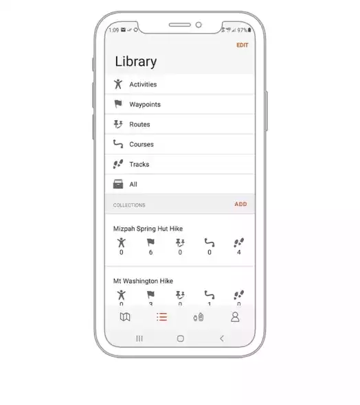
67&67i: Garmin Explore; 67i: Garmin Messenger App
Android phones
Android 9.0 or newer (BLE 4.0 or newer)
iOS system (iPhone)
iOS 16 or higher (BLE 4.0 or higher)
SAFETY FEATURES (Smartphone required)
Incident detection
only GPSMAP 67i
COMPUTER CONNECTIVITY
Data transfer device name
USB-C
Driver Name
Garmin Express
Program name
Garmin Explore
NAVIGATION FEATURES
Preloaded maps
TopoActive Europe
Map orientation
Heading Up or North Up option
Waypoints/favorites/locations
10000
GPS FUNCTIONS
built-in Memory
16 GB (GPSMAP 67) / 32 GB (GPSMAP 67i)
Expandable data card
igen, microSD (max 32GB)
inReach® features (requires subscription)
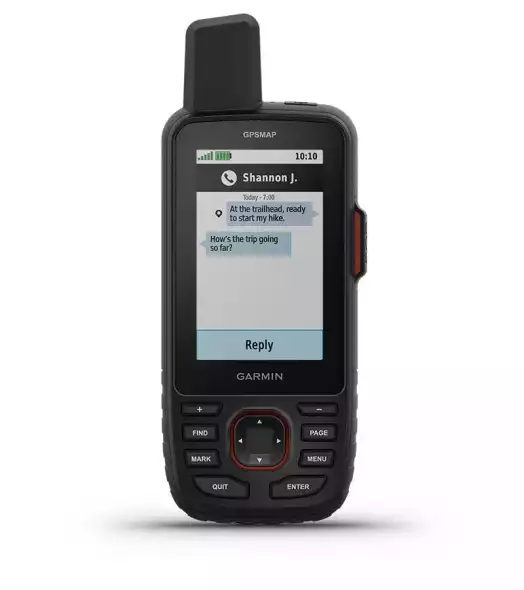
Built-in inReach® satellite communication
only in GPSMAP 67i model
External inReach® device compatible
GPSMAP 67 ✓ / 67i – external
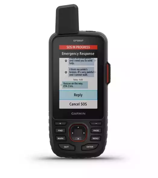
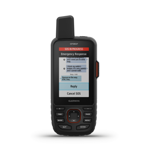
Interactive SOS
only GPSMAP 67i
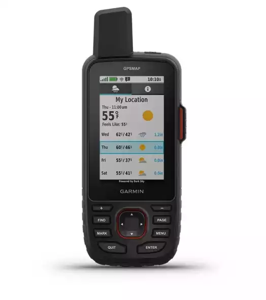
inReach időjárás
only GPSMAP 67i
Send and receive text messages to SMS and email
only GPSMAP 67i
Send and receive text messages to other inReach device
only GPSMAP 67i
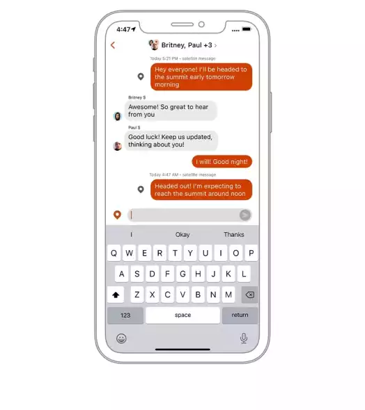
Send and receive group messages
only GPSMAP 67i
Exchange locations with other inReach device
only GPSMAP 67i
MapShare compatible with tracking
only GPSMAP 67i
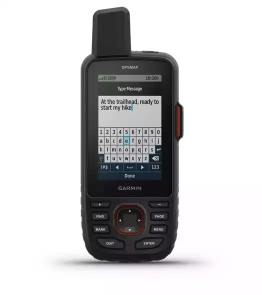
Virtual keyboard for custom messaging
only GPSMAP 67i
Send waypoints to MapShare during trip
only GPSMAP 67i
Send route selection to MapShare during trip
only GPSMAP 67i
inReach remote compatible
only GPSMAP 67 (not 67i)
CYCLING speed sensor
Package is the speed sensor?
-
Number of cycling sensors can be taught
1
CYCLING cadence sensor
Package is the cadence?
-
Number of hours taught-cadence
1
PACKAGE CONTENTS
Charging/data cable
USB-A – USB-C
Other accessory
Carabiner clip
