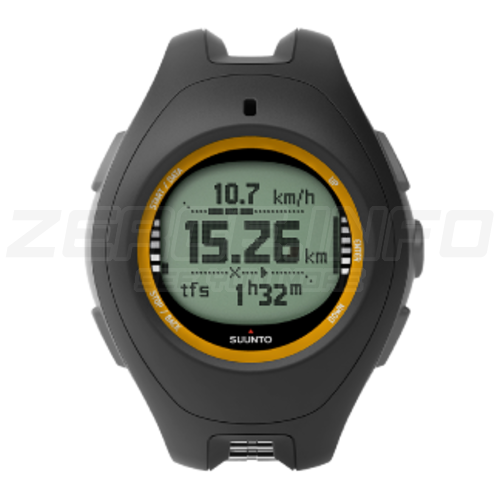
Suunto X10
- GPS: record routes, mark waypoints, track speed and distance
- View tracks, plan, and visualize routes on Movescount.com using the cable provided (on PC and Mac)
- Altimeter, barometer, compass in degrees or mils units
- Time, dual time, calendar, multiple alarms, stopwatch
- Red backlight
- Water resistant up to 100 meters / 300 feet
- Menu based user interface
- Computer connectivity using the USB cable provided
- Only 76g
The ultimate outdoor tool
Living up to the expectations of its predecessors, the Suunto X10 features a GPS tracking system that is fast and accurate, with robust performance in harsh conditions. It also has a long battery life and is USB chargeable, making it the ideal companion for adventurers.
During the trip
The Suunto X10 continuously checks the barometric pressure, so you can always stay one step ahead of the weather. In addition to the altimeter, compass, and barometer use the GPS to better navigate to up to 500 waypoints throughout your journey. You can set the Suunto X10 to Activity Mode to record your speed, distance, and altitude information, and any memory points you define along the way. With the fast GPS fixes - even under heavy foliage - and long lasting battery power, you can navigate confidently and conveniently, while keeping your hands free. Once you reach your destination, set your Suunto X10 on Track Back mode to be guided back the way you came.
After the trip
After your trek storage/files/uploads your journey to Movescount.com (or a third party digital map software*) to visualize the altitude profile, plot and show your progress on a map and share your experience with your friends and fellow outdoor enthusiasts. When everyone knows where you've been and how you got there, the pressure is on to find new places. With the Suunto X10, the earth is your playground.
View tracks on Movescount.com
You can export tracks from your Suunto X10 to Movescount.com, where you can view your adventures anywhere on the globe with real satellite imagery (provided by Google Maps). Once exported to Movescount.com, you can relive your adventures, zooming from outer space to distances as close as 60 meters / 200 feet with detailed resolution. You can also view your speed and altitude graphs from your journey, and share all this information online with your friends. Check Movescount.com now!
*Third party software
There are several commercial software products that are compatible with Suunto X10 and allow planning and viewing of your hiking and trekking trips on a computer using digital outdoor maps.
Products compatible with Suunto X10 include National Geographics TOPO!, Austrian Map, CompeGPS, Fugawi, German Top-Map Series, MagicMaps and Memory-Map.