Also with instalment

Garmin Tread® - XL Overland

010-02509-10

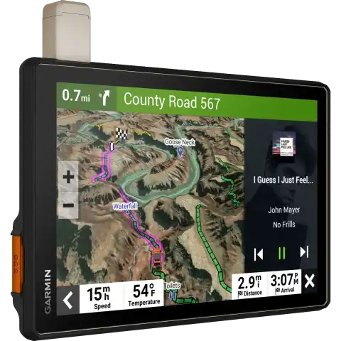
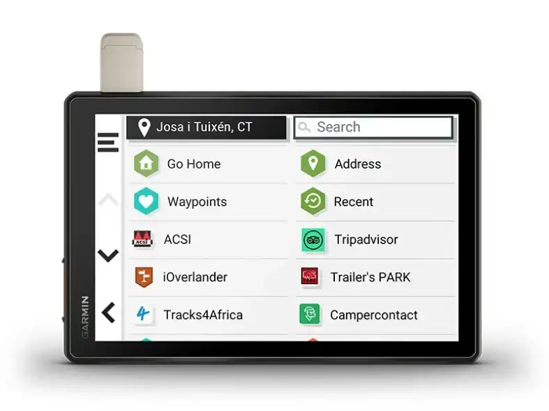
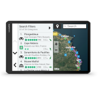
Designed for off-roaders and adventurers: large, ultra-bright display, weather-resistant build, custom routes based on vehicle size, and offline POIs for campsites.

Currently not in stock. If ordered, the product arrives in 1-2 working days.

Instalment payment

The contribution is 287 055 Ft, then pay 57 411 Ft 5 times

0% THM
7 minute
100% Online
Without applying for credit
Want to be sure?
287 055 Ft + 5 x 57 411 Ft
Check it whether you can pay in instalments for this product without any commitment!
SPECS

Overview

Short summary
Recommended for off-roaders, motorcyclists, and adventurers navigating rough terrain and extreme conditions, relying on dependable navigation and offline POIs

TECHNICAL DETAILS

BRAND
GARMIN
BRAND
USA
Made in
Taiwan
Year of manufacture
2023
Registration required (cloud based)
Weight
930 g
Unit dimensions, WxHxD:
252 x 199 x 31 mm
Display size:
217 x 136 mm
Display resolution
1280 x 800 pixels
Display Type
Multi-touch, glass, high brightness HD colour TFT with white backlight
Touch screen
Battery
rechargeable lithium-ion
Low battery warning
Guarantee or warranty ( for person )
3 years
Guarantee or Warranty (for company)
1 year

Training goal/ exercise motivation (Best = XXXXX)

Good feeling exercise
XXXXX

Battery Life (Accu)

GPS mode
Up to 6 hours at 50% backlight
Other mode
Up to 1 hour at 100% backlight

Technical specifications

Release date
APR 2023
Average service time (my own experience)
1-5 nap
Waterproof
Water resistant 30-50m (for swimming)
Device menu in Hungarian
Ambient light sensor
Backlight
Backlight brightness adjustable
Display zoom
Gloves to handle
During use, the battery can be charged
Memory Capacity
64GB
Software Upgrade

CLOCK MODE

12/24h
UTC
Calendar clock

SETTINGS AFTER TRAINING

WIFI (upload an activity wirelessly)

SMARTPHONE FUNCTION

Shows shows current weather widget
APP name
Garmin Tread app
Android phones
Smartphone Compatible
Notifications on the watch
call acceptance / rejection / recall
Group Track

COMPUTER CONNECTIVITY

Data transmission device in the package?
Data transfer device name
TypeC kábel
Driver Name
Garmin Express
Program name
BaseCamp, Garmin Explore
Compatible with PC
Compatible with Mac
Hungarian-language software

3rd PARTY APP

Data export (.gpx, .tcx, .csv)

NAVIGATION FEATURES

Map receiving
Lifetime GPS map updates
Can be loaded with Openmaps and / or turistautak
Map orientation
North Up (észak fel) vagy Track Up (menetirány szerint)
Map Update
Find the starting point
Displays the coordinates
Waypoints/favorites/locations
Track and POIs on display at the same time
Lock on road
Off-course re-route selection options
Can be filled from the GPS Trace
Route and elevation profiles
Show the map on device
zoom in or out
Scanning
database of maps
3-D terrain view

GPS FUNCTIONS

GPS (USA) satellite system compatible
GLONASS satellite system compatible (30cm Accuracy!)
GALILEO
Multi-GNSS
built-in Memory
64GB
Training computer displays the Route
Expandable data card
256 GB max microSD™ card
Unit-to-unit transfer (shares data wirelessly with similar units)

ALTIMETER FEATURES

Altimeter, Total Ascent
barometer
3D digital compass
Altitude, ascent and descent – meters, degrees, percentage

AUTOMOTIVE GPS

Multi-mode (car, motorcycle, bike)
Lane assist (guides to proper lane for navigation)
Auto sort multiple destinations
Qwerty or ABC keyboard (choose keyboard layout)
Traffic information (via the Garmin Tread app)
TripAdvisor® Rating
Route shaping through preferred cities/streets
Lane assist with junction view (displays junction signs)
Driver alerts (sharp curves, school zones, red light and speed camera)
Garmin Garage™
Garmin Locate
Speed limit indicator (U.S. and Europe)
Voice prompts (e.g.
Backup camera compatible
GARMIN BC™ 35

Tactical features

MIL-STD-810G tests

PACKAGE CONTENTS
Computer
Charging/data cable
Out-Front Mount
Description

DON’T ARRIVE AT YOUR DESTINATION. DISCOVER IT.

Built for every part of the journey, this extra big, extra rugged all-terrain navigator has the mapping you need to stay on track and communication technology to stay in touch while you’re out there.

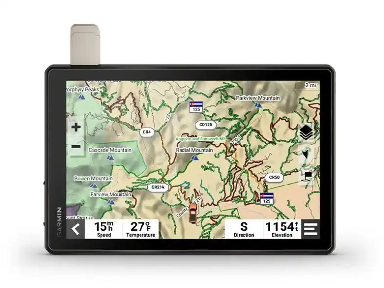
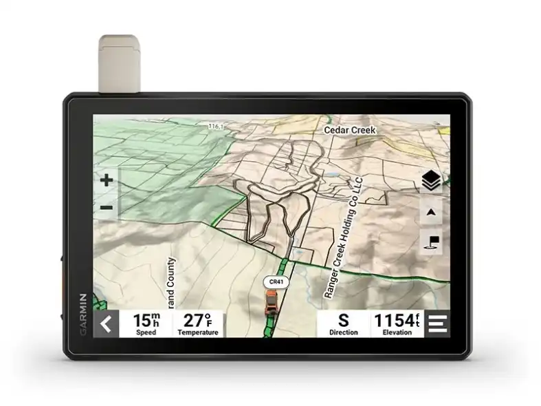
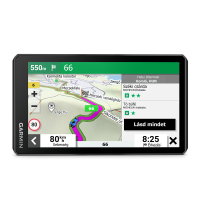
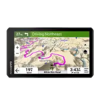
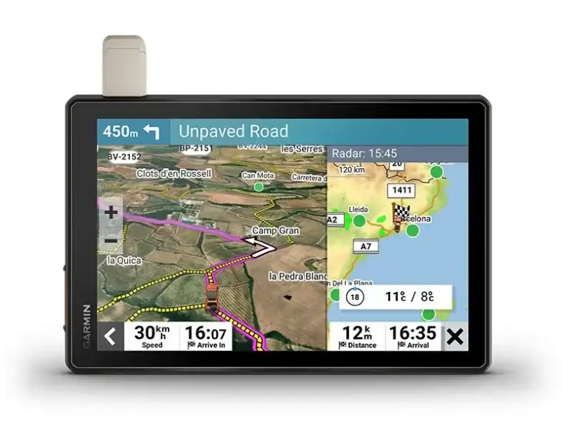
Navigate unpaved roads and trails by using turn-by-turn trail navigation1 with OpenStreetMap (OSM) and USFS Motor Vehicle Use Maps.

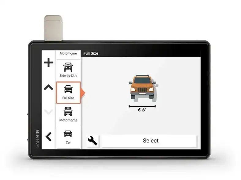
Custom routing for the size and weight of your rig2 and preloaded iOverlander™ points of interest (POIs) help you find where to set up camp.

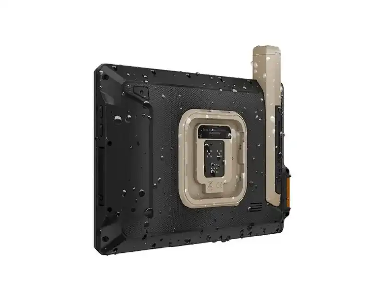
This rugged navigator is IP67 weather-resistant and has an 10” ultrabright touchscreen display.

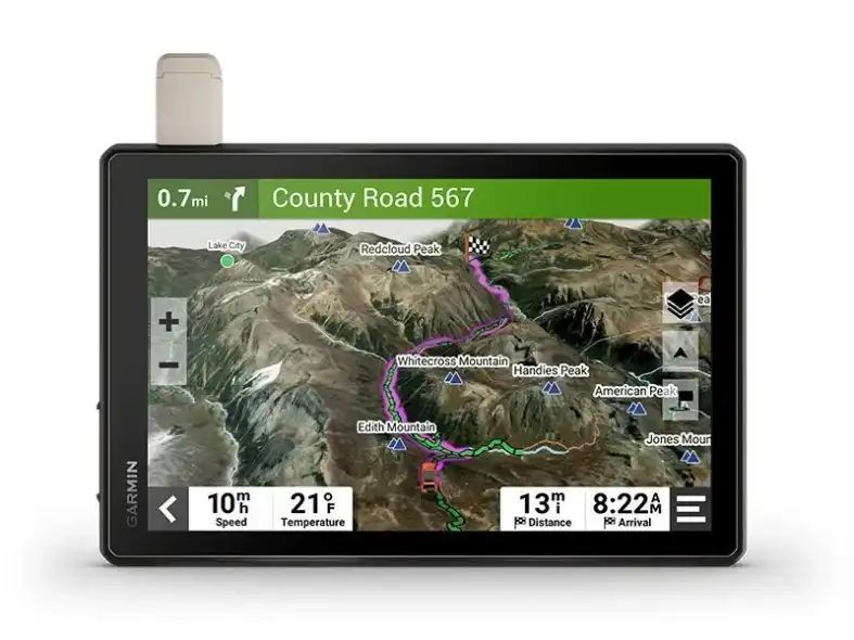
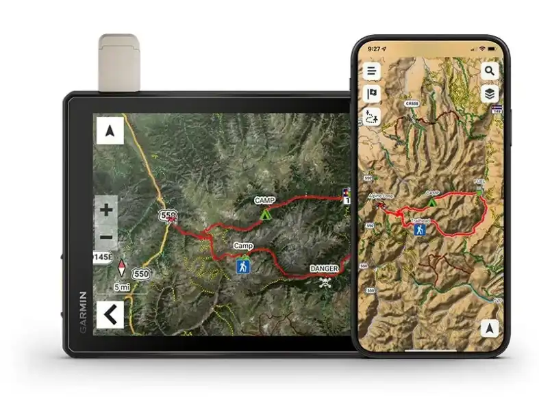
See vivid aerial views of terrain with downloadable, subscription-free BirdsEye Direct Satellite Imagery.

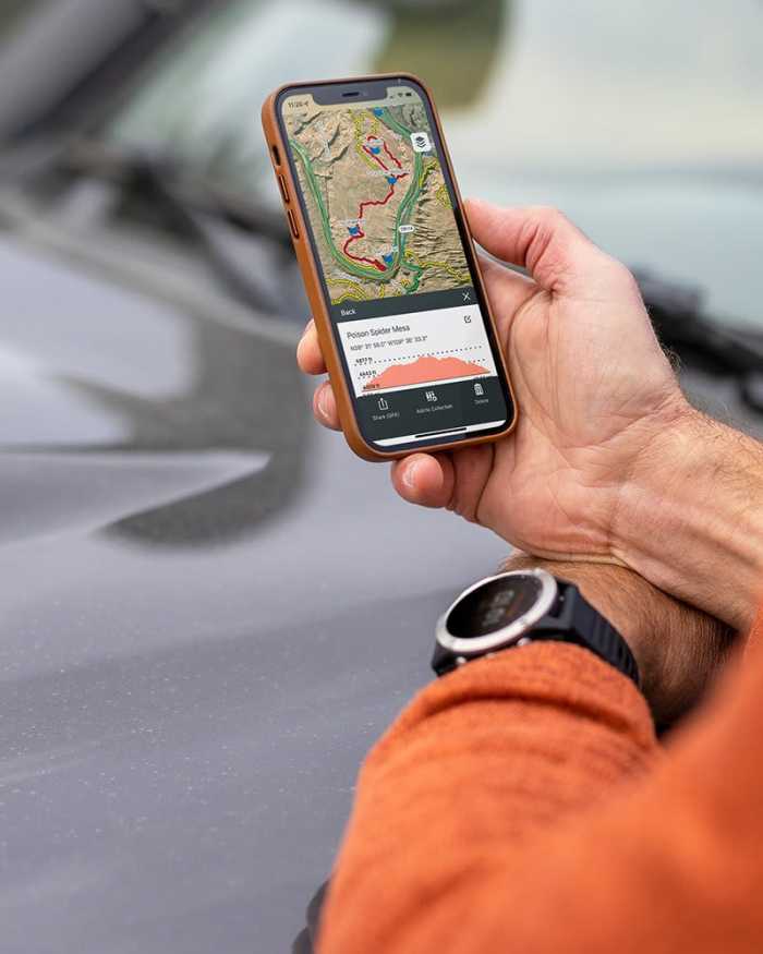
Use the Tread® app on your compatible smartphone to sync data across your various devices and plan routes.

Peace of mind comes built-in. With an active subscription, you can use inReach® technology for global satellite communication.

Built for the journey
ahead.

OFF-ROAD RUGGEDNESS

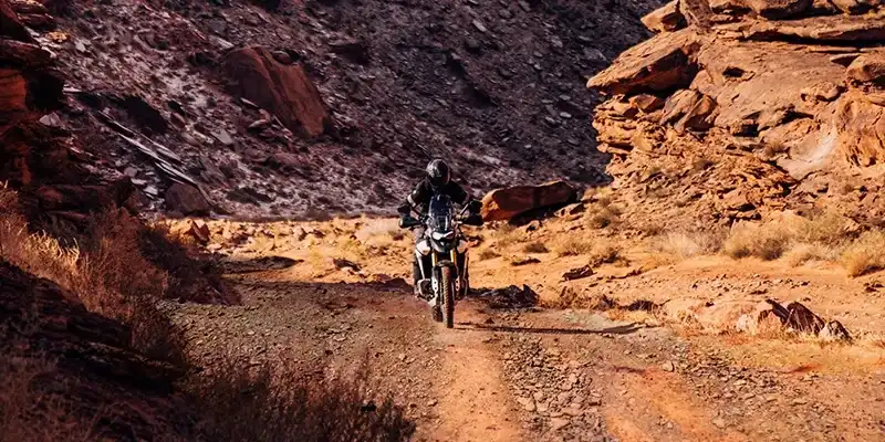
Purpose-built for all-terrain use, this Tread device stands up to anything the elements can throw at it. It’s IP67-rated for water-resistance.

HIGH-VISIBILITY DISPLAY

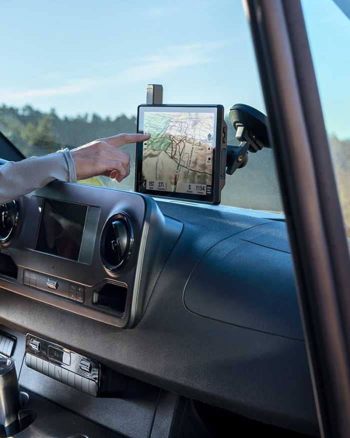
With its ultrabright 10” glove-friendly touchscreen, the navigator is designed for easy viewing in bright sunlight or pitch dark. It can be mounted in portrait or landscape mode.

TRAIL NAVIGATION

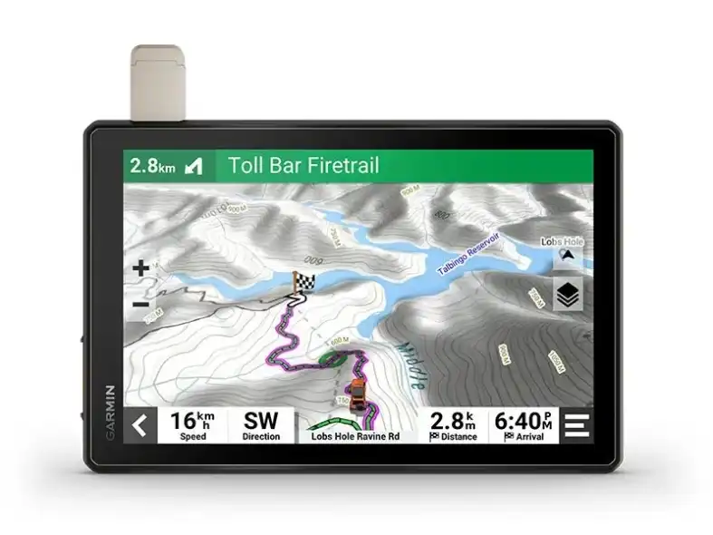
Enjoy turn-by-turn trail navigation for traversing unpaved roads and trails using adventure roads and trails map content comprised of OSM and USFS Motor Vehicle Use Maps.

BUILT-IN INREACH TECHNOLOGY

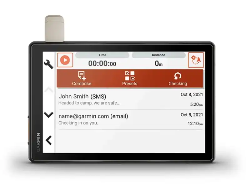
Built-in inReach technology offers global satellite communication3, two-way text messaging, location sharing and interactive SOS (active satellite subscription required).

MAPS ON AND OFF-ROAD

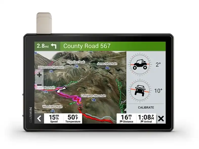
Tread includes preloaded topographic maps with 3D terrain for North and South America. It also includes detailed street maps of North America with custom routing for the size and weight of your rig2.

KNOW YOUR BOUNDARIES

Access U.S. public land boundaries for national forests, Bureau of Land Management (BLM), wilderness areas and more. Also, see U.S. private land boundaries and landowner information for parcels greater than 4 acres.

SATELLITE IMAGERY

Enjoy vivid aerial views when you download high-resolution BirdsEye Direct Satellite Imagery directly to your device via Wi-Fi® connectivity, with no annual subscription required.

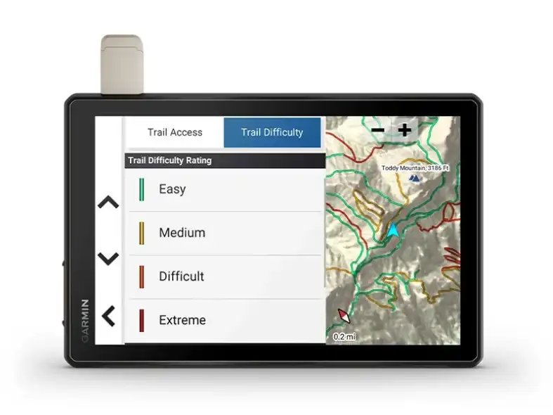
TRAIL RATINGS

Our growing trail database now includes difficulty ratings for off-road riding areas, where available, across the U.S.

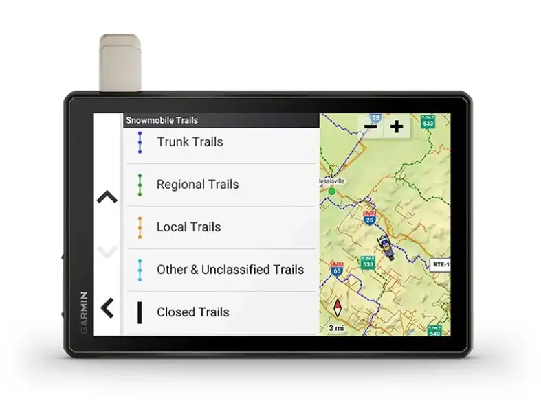
SNOWMOBILE TRAILS

View snowmobile trail content for select areas within the U.S. and in Canadian provinces. This includes snowmobile-accessible locations such as fuel stops, warming shelters, restaurants and more.

POINTS OF INTEREST
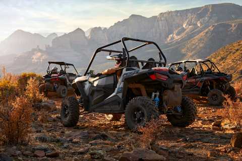
Tread comes preloaded with iOverlander points of interest and Ultimate Public Campgrounds, so you don’t need a cell signal to route to the best-established, wild and dispersed campsites.

ABC SENSORS

When you’re headed to tough-terrain, the built-in sensors will come in handy — including an altimeter, barometer, compass and pitch/roll gauges.

SECURE MOUNT

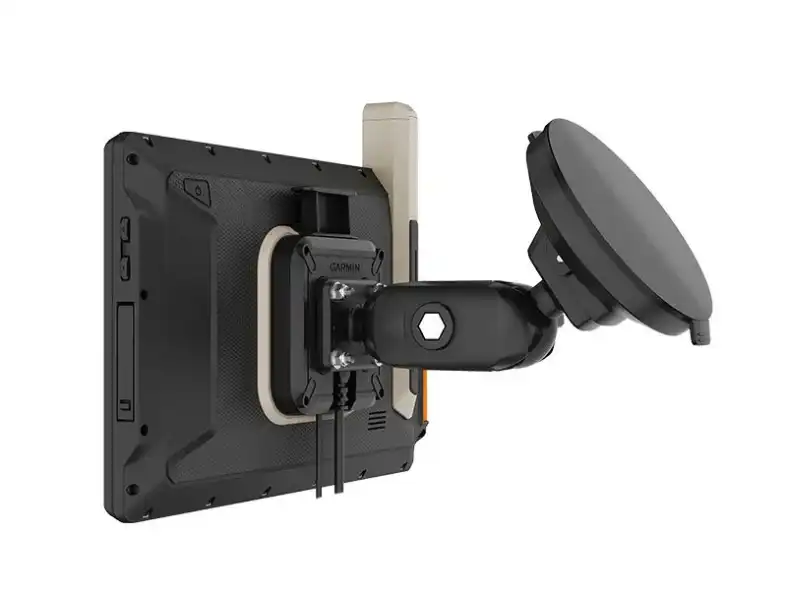
Use the included locking magnet-assisted mount to secure the navigator to your vehicle.

Connect for a
better adventure.

GROUP RIDE MOBILE

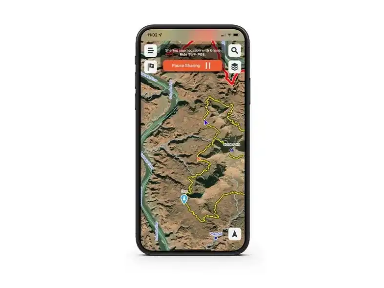
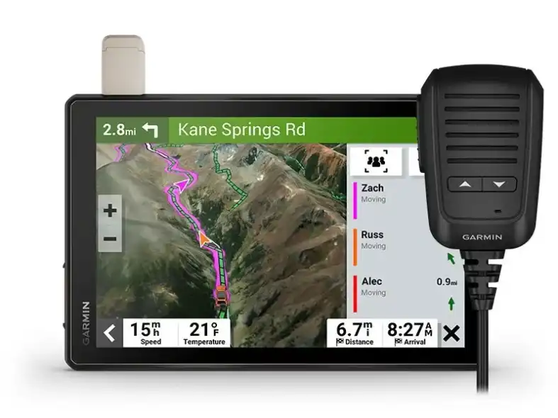
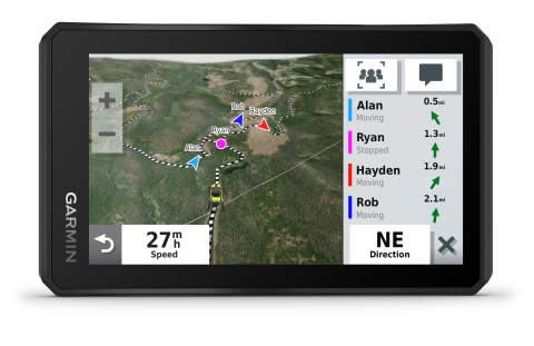
Track friends from your compatible smartphone or Tread device when you and your friends use the Tread app’s Group Ride Mobile feature.

EASY ROUTE PLANNER

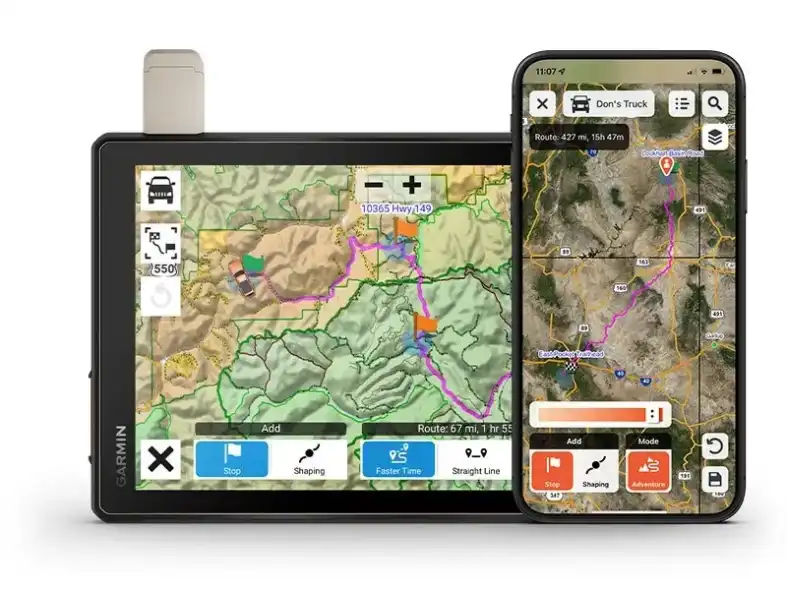
Use the Tread app to easily plan routes with the same maps, vehicle profiles and route preferences that you have on the Tread device.

EASILY SYNC YOUR DEVICES

Use the Tread app to sync waypoints, tracks, routes and collections across all your devices. Easily import and share GPX files, too.

LIVE WEATHER

Weather ahead? Pair your Tread device with your compatible smartphone, and download the Tread app to access live weather, storm alerts, animated radar and more.

Overlanding
equipment for
expeditions.

CONTROL YOUR ACCESSORIES

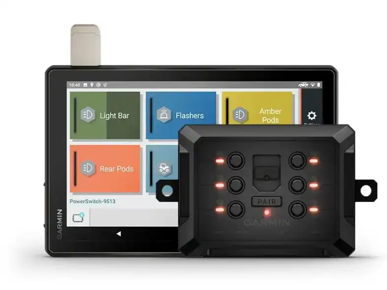
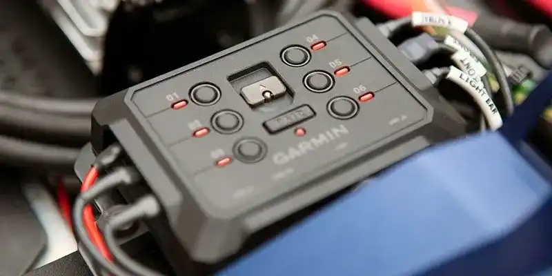
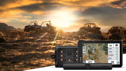
Pair Tread with the compatible Garmin PowerSwitch™ digital switch box (sold separately) to enable on-screen control for your vehicle’s 12-volt electronics — light bars, differential locks and more.

GROUP RIDE RADIO

Pair your device with the compatible Group Ride Radio (sold separately) for communication and tracking of other Tread-equipped riders in your group.

TRACK YOUR DOG PACK

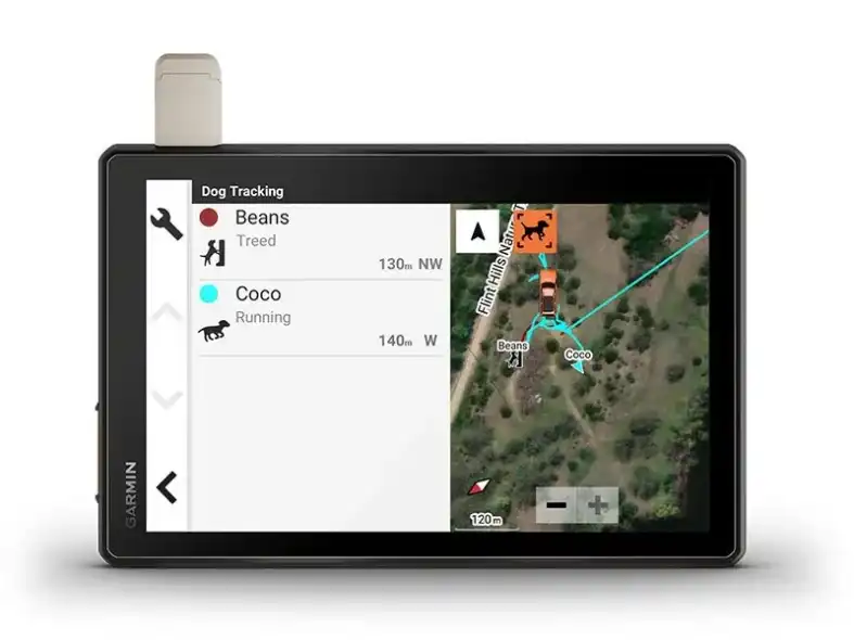
Wirelessly pair Tread with select Garmin GPS dog trackers (sold separately) to help track and retrieve your sporting dogs in the field. You’ll see markers for each dog within tracking range, overlaid right on the navigator’s map screen.

EXPAND YOUR RANGE

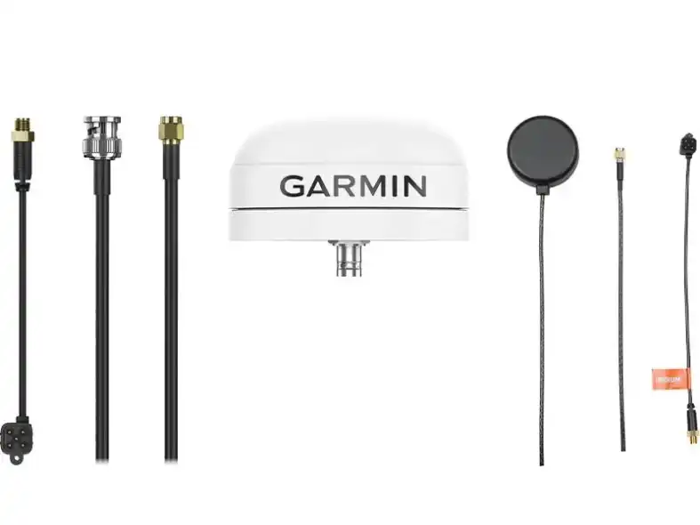
Get enhanced performance with the robust external GPS antenna and external inReach® antenna. Both are in a low-profile, water-resistant housing and have many installation options. Each sold separately.

ontrol your vehicle’s accessories with Garmin PowerSwitch™.

SEE MORE

Support your need to wander with off-road maps for every adventure

SEE MORE

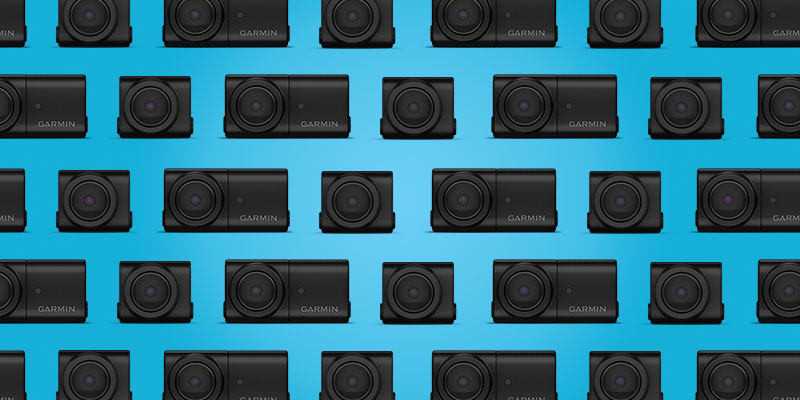
See what’s behind your vehicle with a Garmin reversing camera.

SEE MORE

Get more from your Tread® device with the Tread® app.

SEE MORE


1Limitations may exist in map data for some road and trail route suggestions. Always defer to all posted road signs and conditions during vehicle operation. The Garmin OpenStreetMap products are intended to be used only as a supplementary travel aid.
2Not available in all areas. Entering your vehicle’s profile characteristics does not guarantee your vehicle’s characteristics will be accounted for in all route suggestions. Always defer to all posted road signs and road conditions.
3Active satellite subscription required for the inReach features. Some jurisdictions regulate or prohibit the use of satellite communications devices. It is the responsibility of the user to know and follow all applicable laws in the jurisdictions where the device is intended to be used.
*The CES Innovation Awards are based upon descriptive materials submitted to the judges, CTA did not verify the accuracy of any submission or of any claims made and did not test the item to which the award was given. Copyright © 2022 by iOverlander, LLC. Satellite Imagery © 2021 Maxar Technologies (date of satellite imagery may vary). Wi-Fi is a registered trademark of the Wi-Fi Alliance.

Copyright © 2022 Ultimate Campgrounds - All rights reserved. The Bluetooth word mark and logos are registered trademarks owned by Bluetooth SIG, Inc. and any use of such marks by Garmin is under license.

Engineering enhancements are ongoing and may not be reflected in the pictures, videos and specifications.


In the box / Warranty

WHAT'S IN THE GARMIN Tread XL BOX?

  • Tread XL - Overland Edition
  • Suction cup mount
  • Vehicle power cable
  • Locking magnet-assisted mount
  • USB-C cable
  • Documentation
Accessories

Product accessories

Garmin Handlebar Mount Kit

Mount your compatible motorcycle device just about anywhere with our mounting kit (mounting bracket...

Garmin Motorcycle Mount Bracket (Zumo XT/ Tread)

Mount your compatible zūmo® sat nav to your motorcycle with this bracket

Automotive Mount Kit Tread

Mount your compatible zūmo® sat nav to your motorcycle with this bracket

USB- micro USB cable

Charge or sync your portable Micro USB devices at short distances, with the cable kept out of the wa...

Gembird® Premium spiral metal Type-C USB charging and data cable,1m,metallic-grey

Premium cotton braided Type-C USB charging and data cable, 1 m, spacegrey/white.

Gembird® USB 2.0 A -> USB 2.0 mini 0,3 meters cable

Gembird® USB 2.0 A -> USB 2.0 mini B 5pin M/M data cable 0,3m black

Garmin Group Ride Tracker (6”, 8” & 10”)

If your phone doesn't have coverage, but you want to know where your friends are, you can use Garmin...

Garmin PowerSwitch™

If your phone doesn't have coverage, but you want to know where your friends are, you can use Garmin...

Garmin inReach 2 mini

You’re an explorer who travels light and wants longer battery life. You need a compact GPS satellite...

Similar products

Similar products

Garmin Montana® 700 series

The new Garmin Montana 700 series was released in August 2020 and features rugged military-grade con...

Garmin Camper series

Custom routing for the size and weight of your motorhome, plus vivid aerial views to help you with a...

Garmin Zūmo XT2

The Garmin Zumo XT2 device is ideal for motorcyclists seeking navigation, maps, and a rugged, weathe...

Garmin Tread 2

Recommended for off-road riders and adventurers: rugged, glove-friendly display, IP67 protection, fa...

SUPPORT
Software
icon Tread® App
User Manual
icon Garmin Tread® .pdf 6.8 MB
Photo gallery

Photo gallery