Overview
Short summary
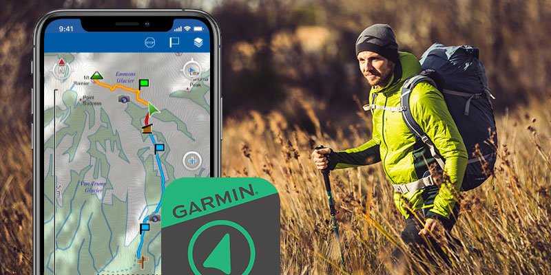
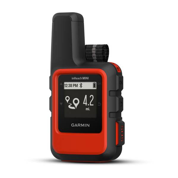
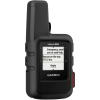
Egy magashegyi GPS, melyel kapcsiolatba maradhatunk a külvilággal
TECHNICAL DETAILS
Registration required (cloud based)
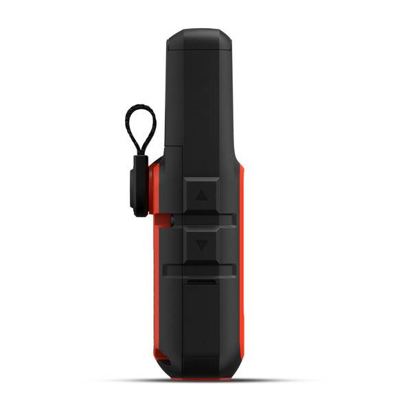
Unit dimensions, WxHxD:
51,7 x 99 x 26,1 cm
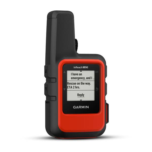
Display resolution
128 x 128 pixels
Display Type
Sunlight-readable, monochrome, transflective memory-in-pixel (MIP)
Battery
Rechargeable internal lithium ion
Operating temperature range
-20° - + 60° C
Training goal/ exercise motivation (Best = XXXXX)
Performance-enhancing training
XXXX
Good feeling exercise
XXXXX
Battery Life (Accu)
Expedition GPS activity
24 days
Other mode
up to 35 hours at 10-minute tracking with 1-second logging
Technical specifications
No longer available.
FEB 2022
Water resistant 30-50m (for swimming)
✓ (IPX7)
Backlight: Adjustable timeout during activity & not d.a.
CLOCK MODE
PRE-TRAINING FUNCTIONS
Adjustable recording rate
1sec or 30 minutes or Smart
SMARTPHONE FUNCTION
APP name
Earthmate-GPS with topo maps
Android phones
7.0 android és későbbi
Device Compatibility List
zerge.info/BLE
Notifications on the watch
call acceptance / rejection / recall
Training / tour online can be tracked from home (LiveTrack)
SAFETY FEATURES (Smartphone required)
COMPUTER CONNECTIVITY
Data transmission device in the package?
Data transfer device name
MicroUSB Cable
Driver Name
Garmin Express
Graphical visualization exercise
Hungarian-language software
NAVIGATION FEATURES
Can be loaded with Openmaps and / or turistautak
no
Map orientation
Heading Up or North Up option
Waypoints/favorites/locations
500
Can be filled from the GPS Trace
GPS FUNCTIONS
GPS (USA) satellite system compatible
GLONASS satellite system compatible (30cm Accuracy!)
Training computer displays the Route
Unit-to-unit transfer (shares data wirelessly with similar units)
Other
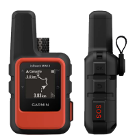
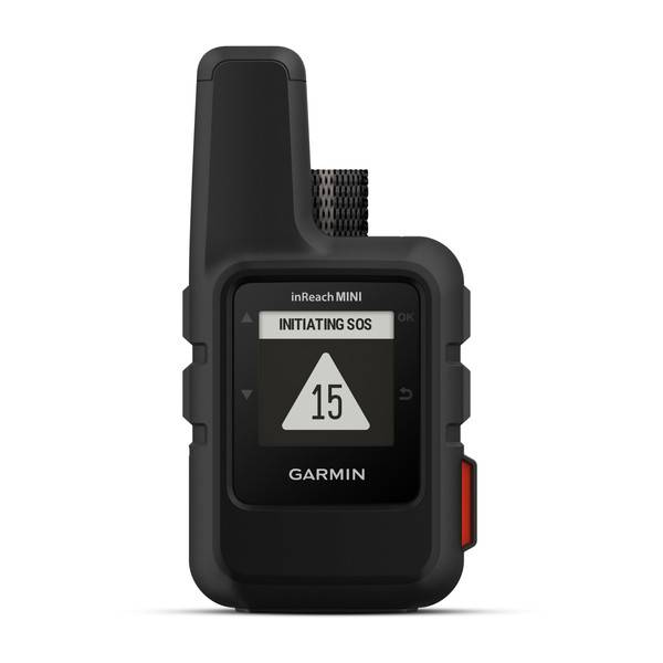
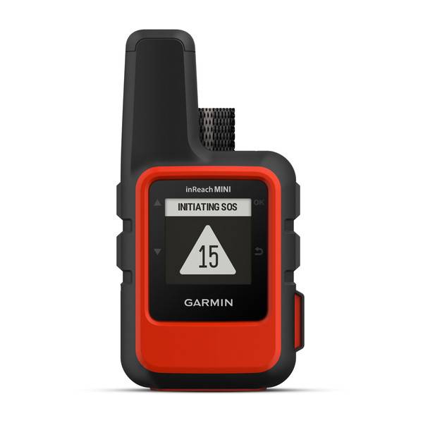
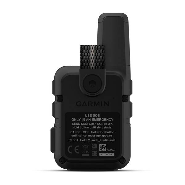
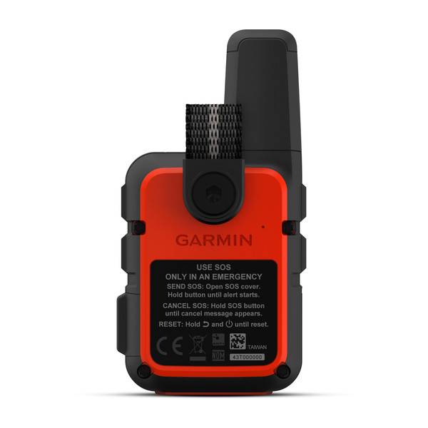
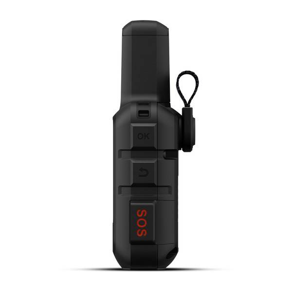
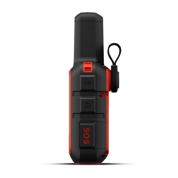
SOS function & Iridium Satellite Network
ALTIMETER FEATURES
Altitude & Ascent (GPS based)
Altimeter, Total Ascent
only EXPLORER
bulit in temperature sensor
storm alarm
only EXPLORER
3D digital compass
only EXPLORER
HUNTING & FISHING
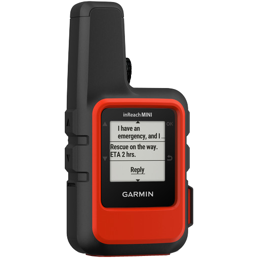


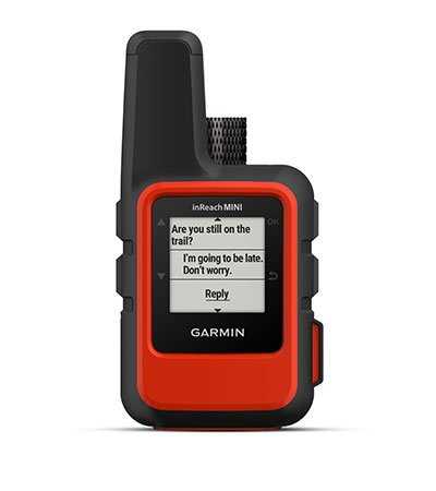 TWO-WAY MESSAGING
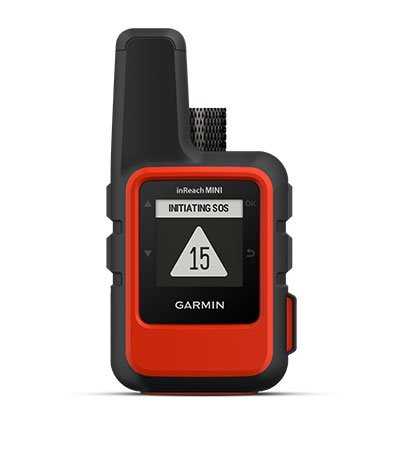 INTERACTIVE SOS ALERTS
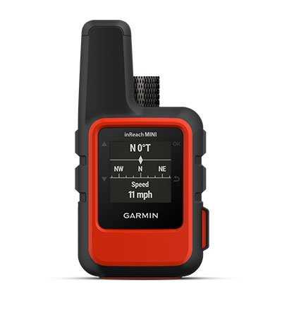 LOCATION SHARING
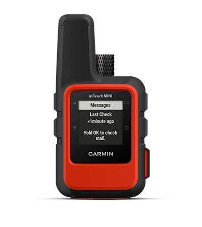 100% GLOBAL IRIDIUM SATELLITE NETWORK
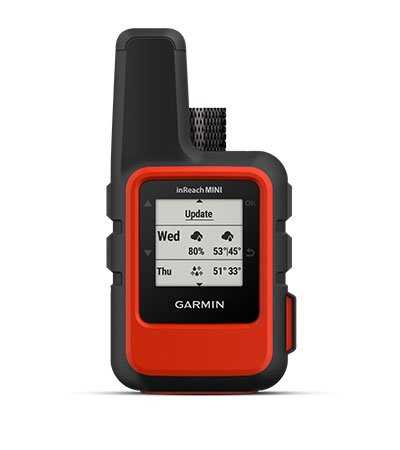 INREACH WEATHER FORECAST SERVICE