Overview
Short summary
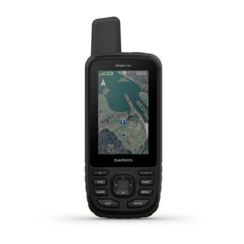
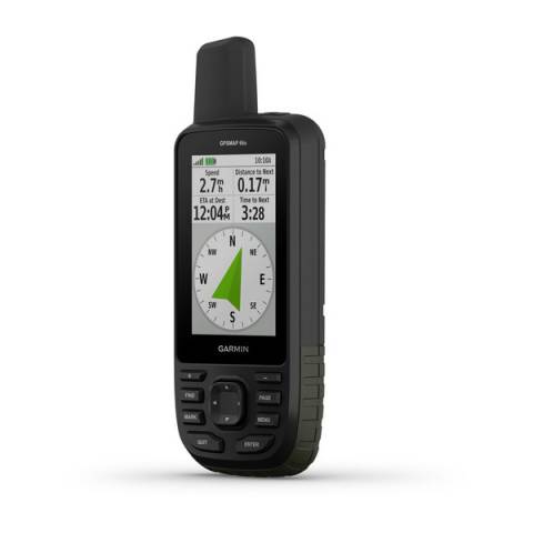
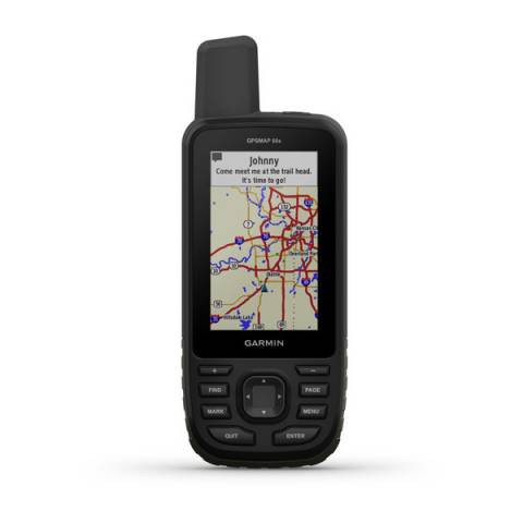
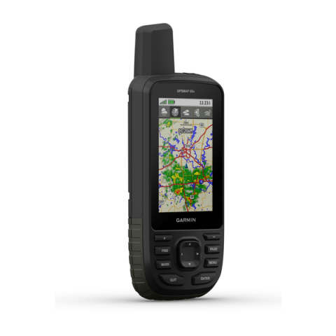
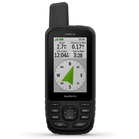
Kézi GPS túrázóknak. Rengetek kényelmi funkció a negyedik generációs GPSMAP sorozattól. Birsdeye műholdkép a terepen, könnyen kezelhető funkciógombok.
TECHNICAL DETAILS
Registration required (cloud based)
Weight
230 (with battery)
Unit dimensions, WxHxD:
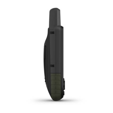
62 x 163 x 35 mm
Display resolution
240 x 400 pixels
Display Type
Transflective colour TFT
Operating temperature range
-15° - + 70° C
Guarantee or warranty ( for person )
1 year
Guarantee or Warranty (for company)
1 year
Training goal/ exercise motivation (Best = XXXXX)
Performance-enhancing training
X
Good feeling exercise
XXXX
Battery Life (Accu)
Technical specifications
No longer available.
DEC 2022
Average service time (my own experience)
1-5 nap
Water resistant 30-50m (for swimming)
✓ (IPX7)
Backlight: Adjustable timeout during activity & not d.a.
CLOCK MODE
Customizable Watch Face, Application, Widget, Data Field (Connect IQ)
only data fields
HEART RATE MEASUREMENT
Current heart rate
csak ANT+ pulzusmérő pánttal
HEART RATE SENSOR (external)
Package is the heart rate strap?
nem
Heart Rate Monitor Strap Type
every ANT+ compatible
2.4 GHz – coded transmission
Comfortable textile strap
PRE-TRAINING FUNCTIONS
Adjustable recording rate
1sec or Smart
SETTINGS DURING TRAINING
Pause training session (for red light)
SETTINGS AFTER TRAINING
Wi‑Fi® Connected Features
WIFI (upload an activity wirelessly)
SMARTPHONE FUNCTION
APP name
Garmin Connect, Garmin Explore,
Android phones
7.0 android és későbbi
Smartphone Compatible
iOS 13 or higher
Device Compatibility List
www.zerge.hu/BLE
Notifications on the watch
call acceptance / rejection / recall
Notification functions Pause
Training / tour online can be tracked from home (LiveTrack)
SAFETY FEATURES (Smartphone required)
COMPUTER CONNECTIVITY
Data transmission device in the package?
Data transfer device name
MicroUSB Cable
Driver Name
Garmin Express
Program name
Garmin basacamp, Garmin Mapsource, Garmin Explore
Hungarian-language software
3rd PARTY APP
Data export (.gpx, .tcx, .csv)
NAVIGATION FEATURES
Preloaded maps
Birsdeye műholdképek
Can be loaded with Openmaps and / or turistautak
no
Map orientation
Heading Up or North Up option
Waypoints/favorites/locations
2000
Track and POIs on display at the same time
Can be filled from the GPS Trace
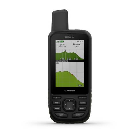
Route and elevation profiles
GPS FUNCTIONS
GPS (USA) satellite system compatible
GLONASS satellite system compatible (30cm Accuracy!)
Training computer displays the Route
Expandable data card
igen, microSD (max 32GB)
Video
remote Garmin VIRB Elite/X/XE
CYCLING speed sensor
Bike speed sensor
GSC10, de nem jegyzi, csak jelzi
Package is the speed sensor?
nem
Number of cycling sensors can be taught
1
CYCLING cadence sensor
Bike cadence sensor
GSC10, de nem jegyzi, csak jelzi
Package is the cadence?
nem
Number of hours taught-cadence
1
ALTIMETER FEATURES
external wireless temperature sensor (garmin tempe)
Vertical ascent in meters per hour
HUNTING & FISHING
Moonrise / moonset alert (times for selected date)

_ef980ac8b4fb277504219b34e3e4be69.png)
_eca89225c4e4d190dbada39b819b69a3.png)
_887826344b094dd2408a1406fda3fb42.png)
