TECHNICAL DETAILS
Registration required (cloud based)
Display size:
23.5 x 23.5 mm
Display resolution
128 x 128 pixels
Display Type
Sunlight-visible, transflective memory-in-pixel (MIP), , 128 x 128 pix
Lens material
Chemically strengthened glass
Bezel material
Fibre-reinforced polymer
Battery
rechargable lithium-Ion
Battery Life (Accu)
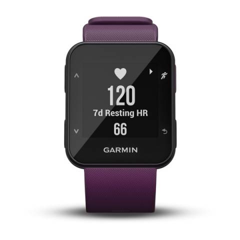
Smartwatch (with heart rate tracking)
5 days
Technical specifications
No longer available.
APR 2019
Menu languages
Magyar, Angol, Francia, Spanyol, Német, Olasz, Svéd, Dán, Norvég, Portugál, Holland, Finn
Memory Capacity
7 timed activities
CLOCK MODE
DAILY SMART FEATURES
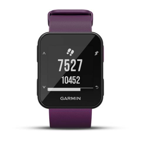
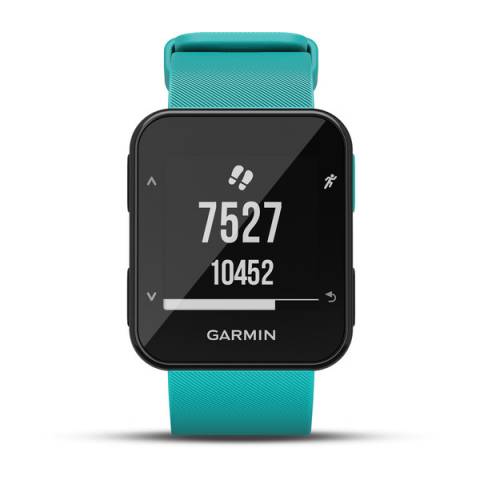
Distance measurement (based on number of steps)
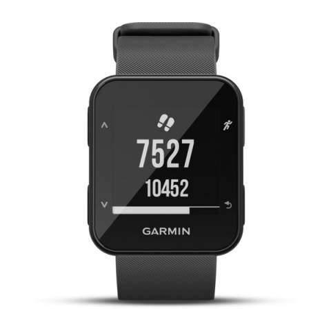
Daily / weekly activity tracking
Intensity Minutes ( minutes/week )
calorie measurement in day
Inactivity alert in divice
Sleep duration and quality
HEART RATE MEASUREMENT
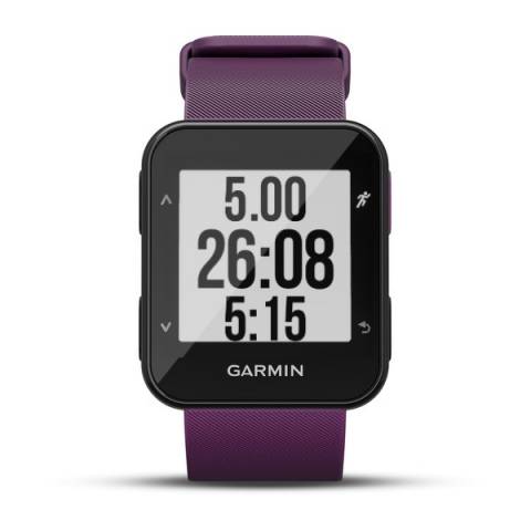
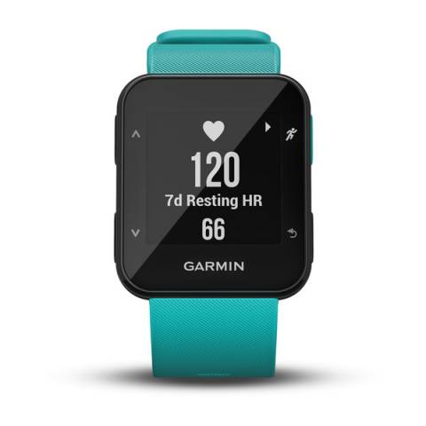
Average and max. heart during exercise
Avg. and max. heart rate during lap
Pulse zone settings
5 állítható sportzóna
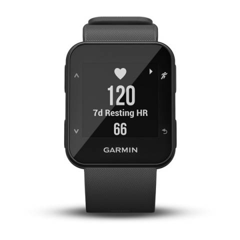
BUILT-IN OPTICAL HR SENSOR ON THE WATCH
Built in heart rate monitor
PRE-TRAINING FUNCTIONS
Sports profile settings
no
Automatic start, stop, pause recording
Adjustable recording rate
dinamikus
SETTINGS DURING TRAINING
Back light turns on when you turn your wrist
Pause training session (for red light)
SETTINGS AFTER TRAINING
Advances collection: the longest, most elevations training, etc.
leghosszabb és leggyorsabb 40km
Weekly history
Csak számítógépen
SMARTPHONE FUNCTION
Compatibility issues
Huawei, Honor, Xiaomi (energiagazdálkodásnál kell beállítani)
Device Compatibility List
http://www.zerge.hu/BLE
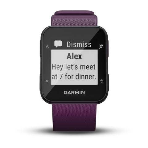
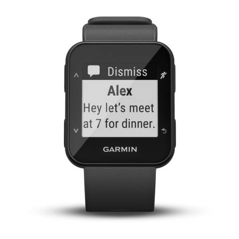
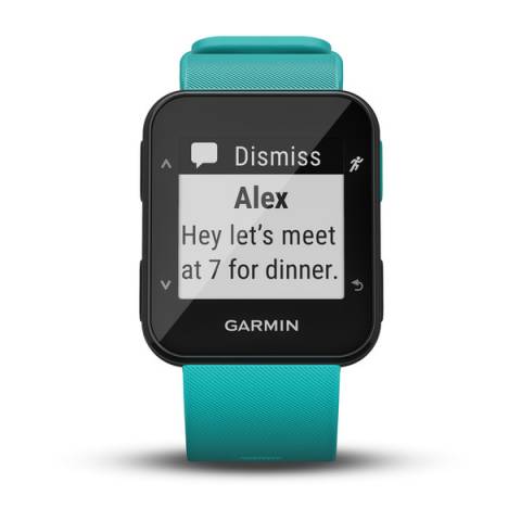
Notifications on the watch
COMPUTER CONNECTIVITY
Data transmission device in the package?
Data transfer device name
Garmin csipeszes töltőkábel 010-11029-19
Driver Name
Garmin Express
Graphical visualization exercise
Hungarian-language software
3rd PARTY APP
Strava was automatically added
GPS FUNCTIONS
GPS (USA) satellite system compatible
Training computer displays the Route
TESTS
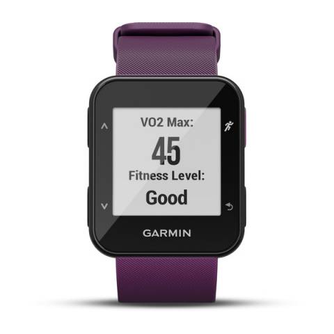
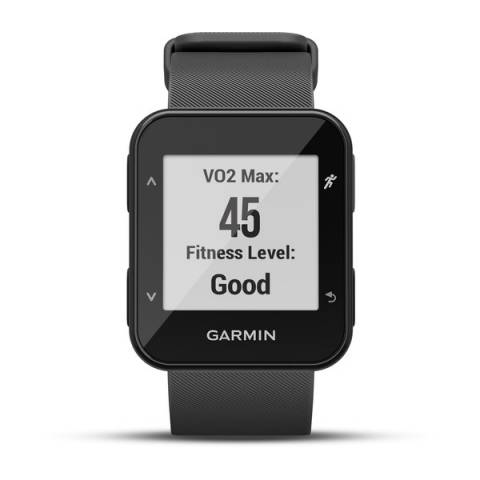
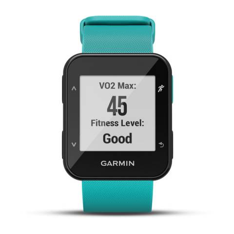
VO2max- Fitnes Test
Running: only ANT+ heart rate sensor.
ALTIMETER FEATURES
Altitude & Ascent (GPS based)
csak számítógépre letöltve látható a szintrajz
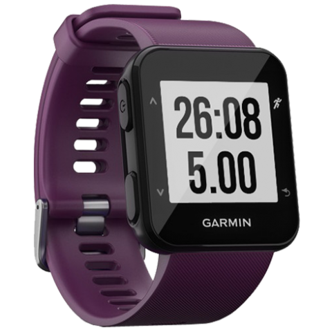
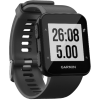
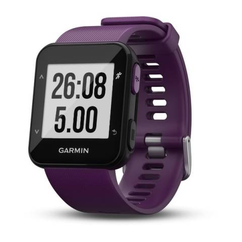
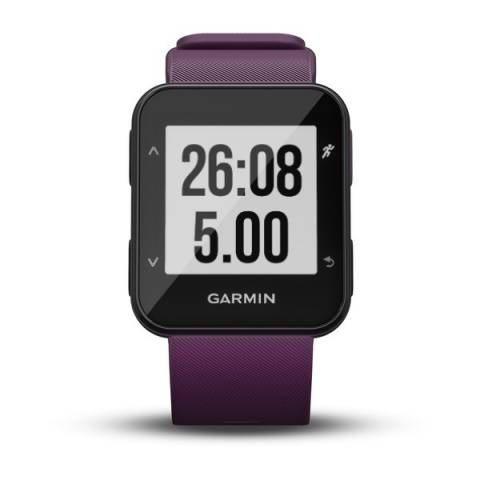
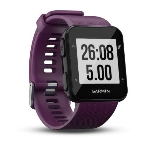
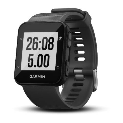
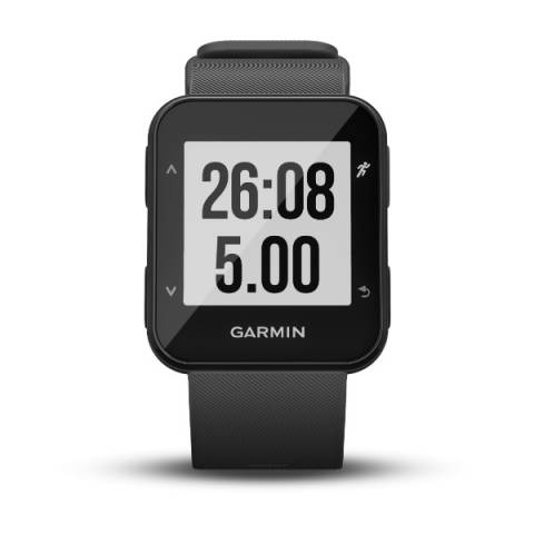
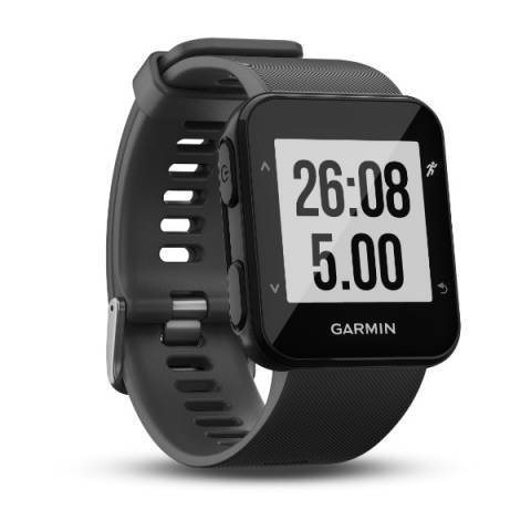
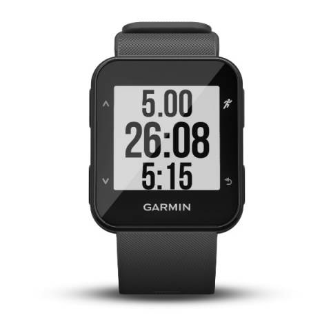
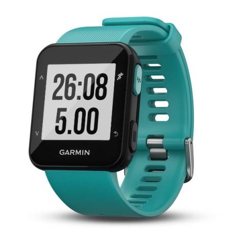
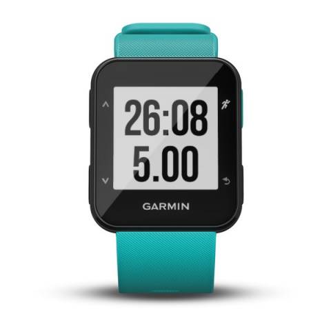
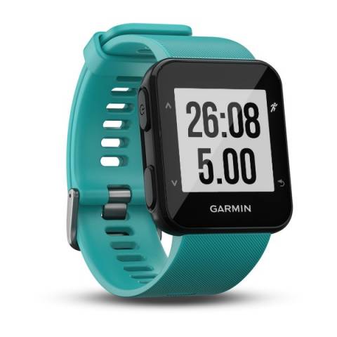
 GARMIN Forerunner 30